Toggle navigation
LMEC Home
Exhibitions
Georeferencing
Tools for Teachers
Collections
My Favorites
Sign Up / Log In
Search
Search the map portal
Map Collection
Map Collection
Map Sets
Search
Search
Search for
Search In
All Fields
Creator
Title
Subject
Place
Search All Digital Collections
Advanced Search
8727 Results
My Search
Start Over
More Like
commonwealth:2514p072r
Remove constraint More Like: commonwealth:2514p072r
Filter your Search
Place
North and Central America
5,926
United States
4,844
Massachusetts
2,079
Europe
1,397
Suffolk (county)
1,046
Boston
1,019
Canada
449
Asia
439
more
Place
»
Topic
Boston (Mass.)--Maps
586
United States--Maps
282
Real property--Massachusetts--Boston--Maps
175
Massachusetts--Maps
162
Landowners--Massachusetts--Boston--Maps
133
North America--Maps--Early works to 1800
103
New England--Maps
102
Europe--Maps
80
more
Topic
»
Date
Date range begin
–
Date range end
Current results range from
1482
to
2023
View distribution
Creator
United States. Hydrographic Office
595
O.H. Bailey & Co
148
Des Barres, Joseph F. W. (Joseph Frederick Wallet), 1722-1824
123
United States. Post Office Dept
120
Ptolemy, 2nd cent
100
Walling, Henry Francis, 1825-1888
94
Geological Survey (U.S.)
86
Jefferys, Thomas, -1771
85
more
Creator
»
Format
Maps/Atlases
8,667
Manuscripts
215
Prints
56
Books
36
Objects/Artifacts
10
Drawings/Illustrations
8
Posters
5
Georeferenced
Yes
869
No
7,858
Collection
Norman B. Leventhal Map & Education Center Collection
8,714
Boston and New England Maps
2,233
Urban Maps
2,023
Maritime Charts and Atlases
1,083
American Revolutionary War-Era Maps
616
Boston Redevelopment Authority Collection
87
Mapping Boston Collection
19
Sidney R. Knafel Map Collection at Phillips Academy
13
Available to use
No known restrictions
8,553
Creative Commons license
66
Search Constraints
Sort by relevance
relevance
title
date (asc)
date (desc)
Number of results to display per page
20 per page
10
per page
20
per page
50
per page
100
per page
View results as:
grid view
map view
Search Results
4161.
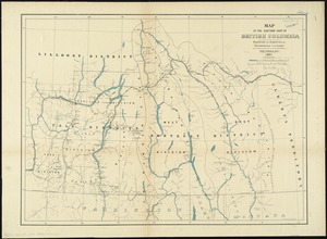
Map of the eastern part of British Columbia
4162.
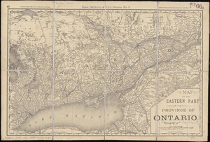
Map of the eastern part of the Province of Ontario
4163.
Map of the Eastern Railroad and principal connections
4164.
Map of the Eastern Railroad and principal connections
4165.
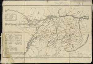
Map of the Eastern Townships of Lower Canada
4166.
A map of the East-Indies and the adjacent countries, with the settlements, factories and territories, explaning [sic] what...
4167.
A map of the eclipse of Feby. 12th in its passage across the United States
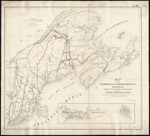
4168.
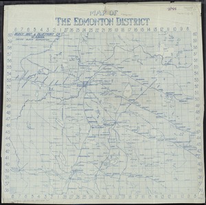
Map of the Edmonton District
4169.
Map of the electric railways of the state of Massachusetts : accompanying the report of the railroad commissioners, 1899
4170.
Map of the Eleventh Congressional District
4171.
Map of the Empire of Germany : including all the states comprehended under that name : with the Kingdom of Prussia, &c
4172.
[Map of the end of Boston Wharf from which restrictions are to be taken off]
4173.
A map of the English, French, Spanish, Dutch, & Danish Islands, in the West Indies, taken from an improved map of the...
4174.
Map of the environs of the City of Mexico : authorized for publication with the Mexican guide
4175.
Map of the estate of the Brookline Land Company and vicinity : showing especially the relation of this property to the park...
4176.
Map of the European & North American Railway and its connections
4177.
Map of the European and North American Railway, showing its connection with the railways of the United States & Canada; made by...
4178.
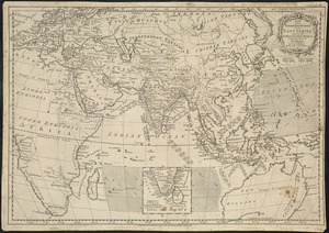
Map of the European settlements in the East Indies and on the eastern coast of Africa including part of Europe
4179.
A map of the extremity of Cape Cod : including the townships of Provincetown & Truro: with chart of their sea coast and of Cape...
4180.
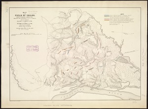
Map of the field of Shiloh, near Pittsburgh Landing, Tenn., shewing the positions of the U.S. forces under the command of Maj....
‹ Prev
Next ›
1
2
…
205
206
207
208
209
210
211
212
213
…
436
437


![A map of the East-Indies and the adjacent countries, with the settlements, factories and territories, explaning [sic] what belongs to England, Spain, France, Holland, Denmark, Portugal &c. with many remarks not extant in any other map](https://bpldcassets.blob.core.windows.net/derivatives/images/commonwealth:cj82ks68x/image_thumbnail_300.jpg)


![[Map of the end of Boston Wharf from which restrictions are to be taken off]](https://bpldcassets.blob.core.windows.net/derivatives/images/commonwealth:9s161d66k/image_thumbnail_300.jpg)