Toggle navigation
LMEC Home
Exhibitions
Georeferencing
Tools for Teachers
Collections
My Favorites
Sign Up / Log In
Search
Search the map portal
Map Collection
Map Collection
Map Sets
Search
Search
Search for
Search In
All Fields
Creator
Title
Subject
Place
Search All Digital Collections
Advanced Search
8961 Results
My Search
Start Over
More Like
commonwealth:1257c0839
Remove constraint More Like: commonwealth:1257c0839
Filter your Search
Place
North and Central America
6,192
United States
5,108
Massachusetts
2,167
Europe
1,396
Suffolk (county)
1,307
Boston
1,280
Canada
449
Asia
438
more
Place
»
Topic
Boston (Mass.)--Maps
753
United States--Maps
282
Real property--Massachusetts--Boston--Maps
254
City planning--Massachusetts--Boston--Maps
222
Landowners--Massachusetts--Boston--Maps
170
Massachusetts--Maps
166
Urban renewal--Massachusetts--Boston--Maps
128
New England--Maps
104
more
Topic
»
Date
Date range begin
–
Date range end
Current results range from
1482
to
2023
View distribution
Creator
United States. Hydrographic Office
595
Boston Redevelopment Authority
226
O.H. Bailey & Co
148
Des Barres, Joseph F. W. (Joseph Frederick Wallet), 1722-1824
124
United States. Post Office Dept
120
Ptolemy, 2nd cent
100
Walling, Henry Francis, 1825-1888
94
Geological Survey (U.S.)
87
more
Creator
»
Format
Maps/Atlases
8,900
Manuscripts
215
Prints
56
Books
36
Objects/Artifacts
10
Drawings/Illustrations
9
Posters
5
Georeferenced
Yes
885
No
8,076
Collection
Norman B. Leventhal Map & Education Center Collection
8,726
Boston and New England Maps
2,428
Urban Maps
2,211
Maritime Charts and Atlases
1,083
American Revolutionary War-Era Maps
642
Boston Redevelopment Authority Collection
259
Massachusetts Real Estate Atlases
38
Mapping Boston Collection
21
more
Collection
»
Available to use
No known restrictions
8,734
Creative Commons license
71
Search Constraints
Sort by relevance
relevance
title
date (asc)
date (desc)
Number of results to display per page
20 per page
10
per page
20
per page
50
per page
100
per page
View results as:
grid view
map view
Search Results
661.
Plan of proposed Marginal Street from Broad Street at Rowe's Wharf to Commercial Street at Eastern Avenue : showing adjacent...
662.
Plan of Rowe's Wharf
663.
Plan of Suffolk Street District : showing estates & buildings as proposed to be taken by the City of Boston under the Act of...
664.
Plan of the burnt district : showing proposed improvements in streets. Nov. 12th 1872
665.
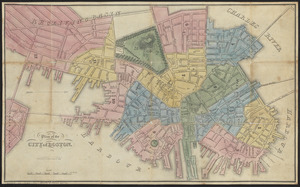
Plan of the city of Boston
666.
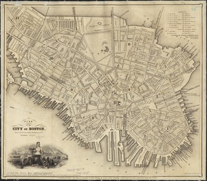
Plan of the city of Boston
667.
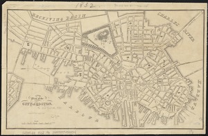
Plan of the city of Boston
668.
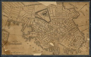
Plan of the city of Boston
669.
Plan of the city of Boston
670.
Plan of the city of Boston
671.
Plan of the city of Boston
672.
Plan of the city of Boston
673.
Plan of the city of Boston
674.
Plan of the city of Boston
675.
Plan of the estate of late Doct. John W. Warren, No. 89 Harrison Avenue, cor. of Kneeland St. & Plymouth Pl. to be sold at...
676.
Plan of the estate of the late Warren White : to be sold at public auction on Wednesday March 27th 1872 at 12 o'clock m. on the...
677.
Plan of the harbour of Boston, from surveys made under the direction of commissioners appointed by a resolve of the...
678.
Plan of the parkway between Muddy River gate house and Jamaica Park 1892
679.
Plan of the receiving basin showing certain avenues and lines of release
680.
[Plan of the State House grounds and the adjacent district]
‹ Prev
Next ›
1
2
…
30
31
32
33
34
35
36
37
38
…
448
449


![[Plan of the State House grounds and the adjacent district]](https://bpldcassets.blob.core.windows.net/derivatives/images/commonwealth:js956k629/image_thumbnail_300.jpg)