Search Constraints
Search Results

5203. Mare del Nord
5205. Marion Co

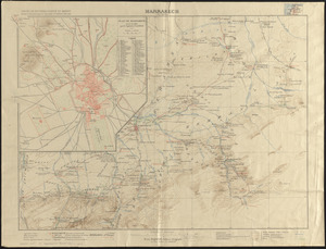
5208. Marrakech
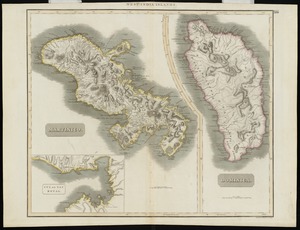
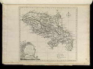
5210. Martinico, Dominica

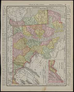
5212. Maryland
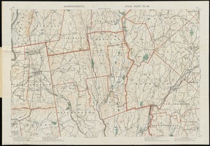
5214. Massachusetts

5215. Massachusetts

5216. Massachusetts

5217. Massachusetts

5218. Massachusetts

