Toggle navigation
LMEC Home
Exhibitions
Georeferencing
Tools for Teachers
Collections
My Favorites
Sign Up / Log In
Search
Search the map portal
Map Collection
Map Collection
Map Sets
Search
Search
Search for
Search In
All Fields
Creator
Title
Subject
Place
Search All Digital Collections
Advanced Search
8943 Results
My Search
Start Over
More Like
commonwealth:1257bt078
Remove constraint More Like: commonwealth:1257bt078
Filter your Search
Place
North and Central America
6,174
United States
5,090
Massachusetts
2,139
Europe
1,396
Suffolk (county)
1,289
Boston
1,262
Canada
449
Asia
438
more
Place
»
Topic
Boston (Mass.)--Maps
753
United States--Maps
282
Real property--Massachusetts--Boston--Maps
254
City planning--Massachusetts--Boston--Maps
207
Landowners--Massachusetts--Boston--Maps
170
Massachusetts--Maps
166
Urban renewal--Massachusetts--Boston--Maps
114
New England--Maps
104
more
Topic
»
Date
Date range begin
–
Date range end
Current results range from
1482
to
2023
View distribution
Creator
United States. Hydrographic Office
595
Boston Redevelopment Authority
212
O.H. Bailey & Co
148
Des Barres, Joseph F. W. (Joseph Frederick Wallet), 1722-1824
124
United States. Post Office Dept
120
Ptolemy, 2nd cent
100
Walling, Henry Francis, 1825-1888
94
Geological Survey (U.S.)
87
more
Creator
»
Format
Maps/Atlases
8,883
Manuscripts
215
Prints
56
Books
36
Objects/Artifacts
10
Drawings/Illustrations
8
Posters
5
Georeferenced
Yes
885
No
8,058
Collection
Norman B. Leventhal Map & Education Center Collection
8,726
Boston and New England Maps
2,413
Urban Maps
2,196
Maritime Charts and Atlases
1,083
American Revolutionary War-Era Maps
638
Boston Redevelopment Authority Collection
244
Massachusetts Real Estate Atlases
38
Mapping Boston Collection
20
more
Collection
»
Available to use
No known restrictions
8,720
Creative Commons license
70
Search Constraints
Sort by relevance
relevance
title
date (asc)
date (desc)
Number of results to display per page
20 per page
10
per page
20
per page
50
per page
100
per page
View results as:
grid view
map view
Search Results
741.
Plan of sections of 1, 2 & 3, East Boston
742.
[Plan of the cove between Savin Hill and Commercial Point, Dorchester]
743.
Plat of lots in Boston (Dorchester Dist.) belonging to B.P. Cunningham
744.
Rugby : belonging to Wood, Harmon & Co
745.
Tax parcels that would have been underwater in 1630
746.
Trustees' sale : beautiful building lots on Walnut St. and Walnut Avenue, in West Roxbury, containing about 3,126,519 square feet
747.
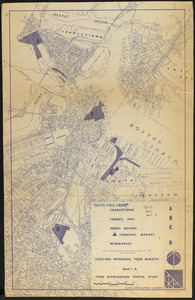
Food distribution center study : Food distribution site study
748.
Location of manufacturers in Boston sheet 4 or 6
749.
Metropolitan District Commission combined sewer overflow project Dorchester Bay area
750.
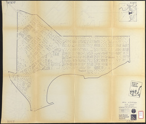
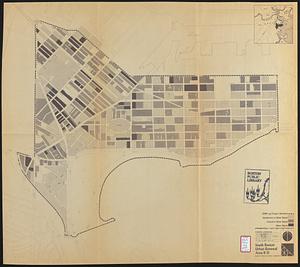
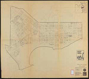
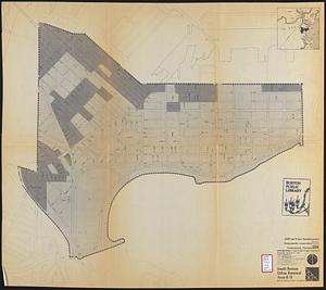
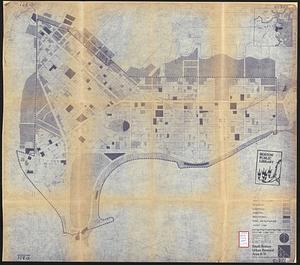
South Boston urban renewal area R-51 : existing population density
751.
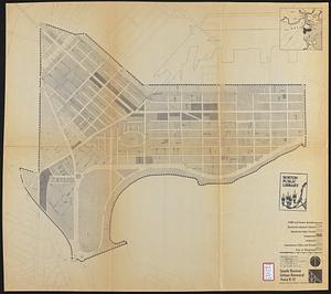
South Boston urban renewal area R-51
752.
South Boston urban renewal area r-51 : proposed circulation
753.
South Boston urban renewal area r-51 : existing and proposed community facilities
754.
South Boston urban renewal area r-51 : existing circulation
755.
South Boston urban renewal area r-51 : proposed land use
756.
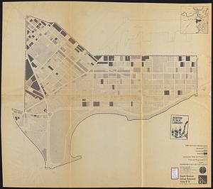
South Boston urban renewal area r-51 : existing land use
757.
South Boston urban renewal area r-51 : building conditions
758.
South Boston urban renewal area r-51 : existing population density
759.
South Boston urban renewal area r-51 : proposed treatment and title I projects
760.
South Boston urban renewal area r-51 : existing land use
‹ Prev
Next ›
1
2
…
34
35
36
37
38
39
40
41
42
…
447
448

![[Plan of the cove between Savin Hill and Commercial Point, Dorchester]](https://bpldcassets.blob.core.windows.net/derivatives/images/commonwealth:js956k66d/image_thumbnail_300.jpg)