Toggle navigation
LMEC Home
Exhibitions
Georeferencing
Tools for Teachers
Collections
My Favorites
Sign Up / Log In
Search
Search the map portal
Map Collection
Map Collection
Map Sets
Search
Search
Search for
Search In
All Fields
Creator
Title
Subject
Place
Search All Digital Collections
Advanced Search
8794 Results
My Search
Start Over
More Like
commonwealth:1257bp07f
Remove constraint More Like: commonwealth:1257bp07f
Filter your Search
Place
North and Central America
6,089
United States
5,011
Massachusetts
2,108
Europe
1,359
Suffolk (county)
1,274
Boston
1,247
Canada
448
Asia
422
more
Place
»
Topic
Boston (Mass.)--Maps
741
United States--Maps
273
Real property--Massachusetts--Boston--Maps
252
City planning--Massachusetts--Boston--Maps
208
Landowners--Massachusetts--Boston--Maps
169
Massachusetts--Maps
163
Urban renewal--Massachusetts--Boston--Maps
111
North America--Maps--Early works to 1800
103
more
Topic
»
Date
Date range begin
–
Date range end
Current results range from
1482
to
2023
View distribution
Creator
United States. Hydrographic Office
594
Boston Redevelopment Authority
208
O.H. Bailey & Co
148
Des Barres, Joseph F. W. (Joseph Frederick Wallet), 1722-1824
124
United States. Post Office Dept
120
Ptolemy, 2nd cent
100
Walling, Henry Francis, 1825-1888
94
Geological Survey (U.S.)
87
more
Creator
»
Format
Maps/Atlases
8,735
Manuscripts
215
Prints
56
Books
36
Objects/Artifacts
10
Drawings/Illustrations
8
Posters
4
Georeferenced
Yes
885
No
7,909
Collection
Norman B. Leventhal Map & Education Center Collection
8,576
Boston and New England Maps
2,380
Urban Maps
2,109
Maritime Charts and Atlases
1,081
American Revolutionary War-Era Maps
638
Boston Redevelopment Authority Collection
245
Massachusetts Real Estate Atlases
38
Mapping Boston Collection
20
more
Collection
»
Available to use
No known restrictions
8,572
Creative Commons license
69
Search Constraints
Sort by relevance
relevance
title
date (asc)
date (desc)
Number of results to display per page
20 per page
10
per page
20
per page
50
per page
100
per page
View results as:
grid view
map view
Search Results
3281.
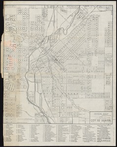
Guide map of the city of Denver
3282.
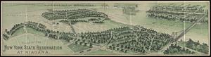
Guide of the New York State Reservation at Niagara
3283.
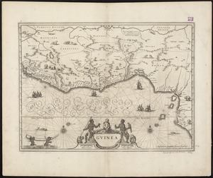
Guinea
3284.
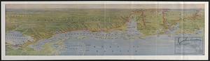
The Gulf Coast
3285.
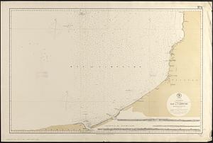
Gulf of Mexico, Bay of Campeche : from British surveys in 1852, corrected to 1872
3286.
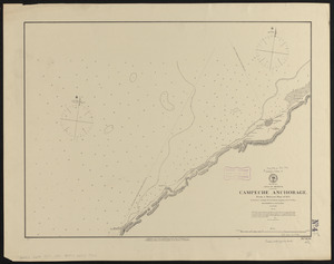
Gulf of Mexico, Campeche anchorage : from a Mexican plan of 1871
3287.
Gulf of Mexico, West Indies and Caribbean Sea : from the most recent U.S. Coast Survey, Spanish and British Admiralty charts
3288.
Gulf of Pechelee, China, Great Wall and town of Shaw-hai-wei in lat. 40.4 N. - lon. 120.2 E.
3289.
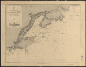
Gulf of St. Lawrence, Cape Breton Island, Louisburg Harbor : from British surveys
3290.
The Gut of Canso : which divides ... cables distance
3291.
Hackettstown : New Jersey
3292.
Der Hafen von Hamburg
3293.
Der Hafen von Hamburg
3294.
Hagstrom's map of Brooklyn (New York City) : house-number and subway guide
3295.
Haiti
3296.
Hale's map of the central & western parts of Massachusetts, with a part of New-York
3297.
Halifax Harbour ... Catch Harbour ... small vessels only
3298.
Halifax Harbour ... Catch Harbour ... small vessels only
3299.
Hall and Elvans' subdivision of Meridian Hill, Washington County, D.C : Sept. 1867
3300.
[Hamadaradz Asharhatsuyts] = [Extensive world map]
‹ Prev
Next ›
1
2
…
161
162
163
164
165
166
167
168
169
…
439
440


![[Hamadaradz Asharhatsuyts]](https://bpldcassets.blob.core.windows.net/derivatives/images/commonwealth:x633f982n/image_thumbnail_300.jpg)