Toggle navigation
LMEC Home
Exhibitions
Georeferencing
Tools for Teachers
Collections
My Favorites
Sign Up / Log In
Search
Search the map portal
Map Collection
Map Collection
Map Sets
Search
Search
Search for
Search In
All Fields
Creator
Title
Subject
Place
Search All Digital Collections
Advanced Search
8872 Results
My Search
Start Over
More Like
commonwealth:1257b986t
Remove constraint More Like: commonwealth:1257b986t
Filter your Search
Place
North and Central America
6,103
United States
5,019
Massachusetts
2,131
Europe
1,396
Suffolk (county)
1,218
Boston
1,191
Canada
449
Asia
438
more
Place
»
Topic
Boston (Mass.)--Maps
752
United States--Maps
282
Real property--Massachusetts--Boston--Maps
195
City planning--Massachusetts--Boston--Maps
168
Massachusetts--Maps
166
Landowners--Massachusetts--Boston--Maps
142
New England--Maps
104
North America--Maps--Early works to 1800
103
more
Topic
»
Date
Date range begin
–
Date range end
Current results range from
1482
to
2023
View distribution
Creator
United States. Hydrographic Office
595
Boston Redevelopment Authority
171
O.H. Bailey & Co
148
Des Barres, Joseph F. W. (Joseph Frederick Wallet), 1722-1824
124
United States. Post Office Dept
120
Ptolemy, 2nd cent
100
Walling, Henry Francis, 1825-1888
94
Geological Survey (U.S.)
87
more
Creator
»
Format
Maps/Atlases
8,812
Manuscripts
215
Prints
56
Books
36
Objects/Artifacts
10
Drawings/Illustrations
8
Posters
5
Georeferenced
Yes
885
No
7,987
Collection
Norman B. Leventhal Map & Education Center Collection
8,722
Boston and New England Maps
2,369
Urban Maps
2,153
Maritime Charts and Atlases
1,083
American Revolutionary War-Era Maps
637
Boston Redevelopment Authority Collection
203
Mapping Boston Collection
20
Massachusetts Real Estate Atlases
12
more
Collection
»
Available to use
No known restrictions
8,675
Creative Commons license
70
Search Constraints
Sort by relevance
relevance
title
date (asc)
date (desc)
Number of results to display per page
20 per page
10
per page
20
per page
50
per page
100
per page
View results as:
grid view
map view
Search Results
301.
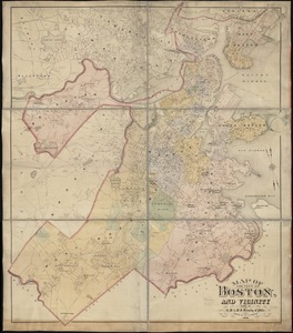
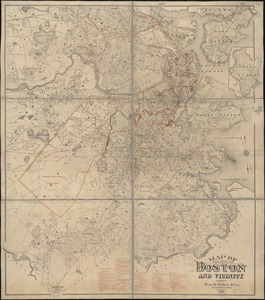
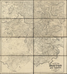
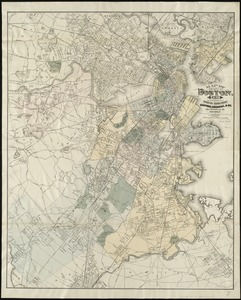
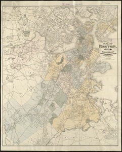
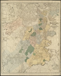
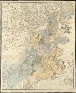
Map of the city of Boston and vicinity
302.
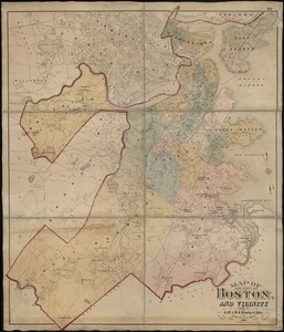
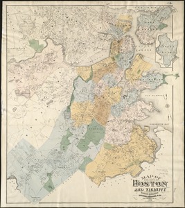
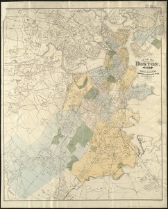
Map of the city of Boston and vicinity
303.
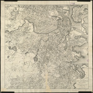
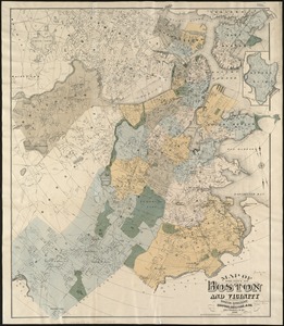
Map of the city of Boston and vicinity
304.
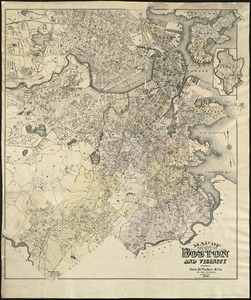
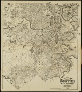
Map of the city of Boston and vicinity
305.
Map of the city of Boston and vicinity
306.
Map of the city of Boston and vicinity
307.
Map of the city of Boston and vicinity
308.
Map of the city of Boston and vicinity
309.
Map of the city of Boston and vicinity
310.
Map of the city of Boston and vicinity
311.
Map of the city of Boston and vicinity
312.
Map of the city of Boston and vicinity
313.
Map of the city of Boston and vicinity
314.
Map of the city of Boston, for 1890
315.
Map of the city of Boston, for 1891
316.
Map of the city of Boston, for 1892
317.
Map of the city of Boston, for 1893
318.
Map of the city of Boston, for 1894
319.
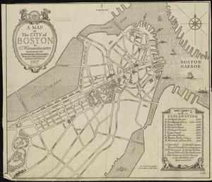
A map of the city of Boston in Massachusetts
320.
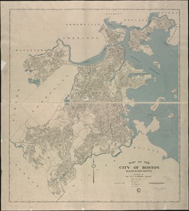
Map of the city of Boston Massachusetts
‹ Prev
Next ›
1
2
…
12
13
14
15
16
17
18
19
20
…
443
444