Toggle navigation
LMEC Home
Exhibitions
Georeferencing
Tools for Teachers
Collections
My Favorites
Sign Up / Log In
Search
Search the map portal
Map Collection
Map Collection
Map Sets
Search
Search
Search for
Search In
All Fields
Creator
Title
Subject
Place
Search All Digital Collections
Advanced Search
8721 Results
My Search
Start Over
More Like
commonwealth:0z709423b
Remove constraint More Like: commonwealth:0z709423b
Filter your Search
Place
North and Central America
5,949
United States
4,864
Massachusetts
2,079
Europe
1,396
Suffolk (county)
1,047
Boston
1,019
Canada
450
Asia
438
more
Place
»
Topic
Boston (Mass.)--Maps
586
United States--Maps
282
Real property--Massachusetts--Boston--Maps
175
Massachusetts--Maps
162
Landowners--Massachusetts--Boston--Maps
133
North America--Maps--Early works to 1800
103
New England--Maps
102
Manuscript maps
84
more
Topic
»
Date
Date range begin
–
Date range end
Current results range from
1482
to
2023
View distribution
Creator
United States. Hydrographic Office
595
O.H. Bailey & Co
148
Des Barres, Joseph F. W. (Joseph Frederick Wallet), 1722-1824
123
United States. Post Office Dept
120
Ptolemy, 2nd cent
100
Walling, Henry Francis, 1825-1888
94
Geological Survey (U.S.)
86
Jefferys, Thomas, -1771
85
more
Creator
»
Format
Maps/Atlases
8,661
Manuscripts
241
Prints
56
Books
36
Objects/Artifacts
10
Drawings/Illustrations
8
Posters
5
Georeferenced
Yes
869
No
7,852
Collection
Norman B. Leventhal Map & Education Center Collection
8,699
Boston and New England Maps
2,233
Urban Maps
2,023
Maritime Charts and Atlases
1,083
American Revolutionary War-Era Maps
640
Boston Redevelopment Authority Collection
87
Library of Congress Collection
22
Available to use
No known restrictions
8,554
Creative Commons license
72
Search Constraints
Sort by relevance
relevance
title
date (asc)
date (desc)
Number of results to display per page
20 per page
10
per page
20
per page
50
per page
100
per page
View results as:
grid view
map view
Search Results
6181.
Plan of Charlestown
6182.
Plan of Charlestown peninsula in the state of Massachusetts
6183.
Plan of Chestnut Hill, in Brookline & Newton : August 1856
6184.
Plan of Church St. district, showing estates and buildings : as proposed to be taken by the city of Boston under the Act of the...
6185.
Plan of city lands and streets s.w. of Dover St : prepared from new surveys
6186.
Plan of city lands to be sold Oct. 30th 1850
6187.
Plan of City Wharf in Boston, Mass : shewing 14 lots of land on the side of the south dock of said wharf & Commercial St. : to...
6188.
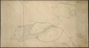
Plan of Coleman's Farm in Newington containing 13 acres - 125 rods
6189.
Plan of corner of Centry & Beacon St's -- 1741
6190.
Plan of cottage lots on Littlejohn's Island, Casco Bay, about 7 1/2 miles northeast of Portland
6191.
Plan of Deer Island
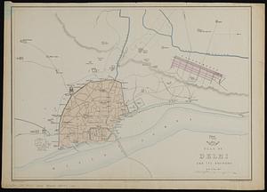
6192.
Plan of Delhi and its environs
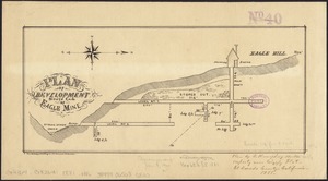
6193.
Plan of development, south end of Eagle Mine
6194.
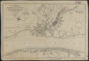
Plan of docks and warehouses proposed to be made at Birkenhead, in the County of Chester
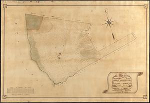
6195.
Plan of Dorchester
6196.
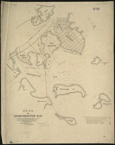
Plan of Dorchester Bay showing its surroundings together with current observations to illustrate the effect of discharging...
6197.
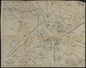
Plan of Dresden
6198.
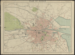
Plan of Dublin
6199.
Plan of dwelling houses & house lots, in West Roxbury
6200.
Plan of East Boston
‹ Prev
Next ›
1
2
…
306
307
308
309
310
311
312
313
314
…
436
437