Search Constraints
Search Results
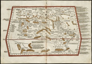

7022. Quarta Europae tabula

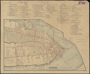
7024. Quebec
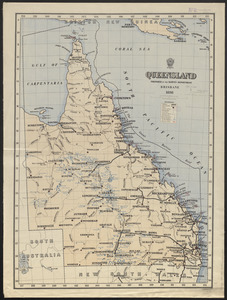
7025. Queensland
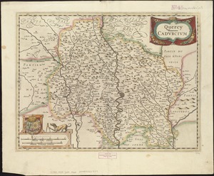
7026. Quercy : Cadurcium
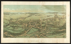
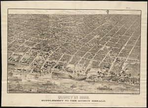
7027. Quincy, Mass
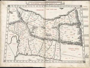
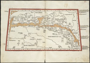
7028. Quinta Asiae tabula
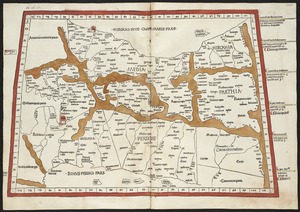
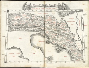
7030. Quinta Europae tabula

7033. The races of Europe