Toggle navigation
LMEC Home
Exhibitions
Georeferencing
Tools for Teachers
Collections
My Favorites
Sign Up / Log In
Search
Search the map portal
Map Collection
Map Collection
Map Sets
Search
Search
Search for
Search In
All Fields
Creator
Title
Subject
Place
Search All Digital Collections
Advanced Search
8773 Results
My Search
Start Over
More Like
commonwealth:0r96fq456
Remove constraint More Like: commonwealth:0r96fq456
Filter your Search
Place
North and Central America
6,004
United States
4,904
Massachusetts
2,150
Europe
1,396
Suffolk (county)
1,047
Boston
1,020
Canada
450
Asia
438
more
Place
»
Topic
Boston (Mass.)--Maps
590
United States--Maps
282
Massachusetts--Maps
235
Real property--Massachusetts--Boston--Maps
175
Landowners--Massachusetts--Boston--Maps
133
New England--Maps
104
North America--Maps--Early works to 1800
103
Europe--Maps
79
more
Topic
»
Date
Date range begin
–
Date range end
Current results range from
1482
to
2023
View distribution
Creator
United States. Hydrographic Office
595
O.H. Bailey & Co
148
Des Barres, Joseph F. W. (Joseph Frederick Wallet), 1722-1824
123
United States. Post Office Dept
120
Ptolemy, 2nd cent
100
Walling, Henry Francis, 1825-1888
95
Geological Survey (U.S.)
92
Jefferys, Thomas, -1771
85
more
Creator
»
Format
Maps/Atlases
8,712
Manuscripts
217
Prints
56
Books
36
Objects/Artifacts
10
Drawings/Illustrations
8
Posters
5
Ephemera
1
Georeferenced
Yes
879
No
7,894
Collection
Norman B. Leventhal Map & Education Center Collection
8,737
Boston and New England Maps
2,279
Urban Maps
2,024
Maritime Charts and Atlases
1,083
American Revolutionary War-Era Maps
639
Boston Redevelopment Authority Collection
90
Applied Geographics, Inc. Records
20
David Judkins Weaver Papers
18
more
Collection
»
Available to use
No known restrictions
8,595
Creative Commons license
51
Search Constraints
Sort by relevance
relevance
title
date (asc)
date (desc)
Number of results to display per page
20 per page
10
per page
20
per page
50
per page
100
per page
View results as:
grid view
map view
Search Results
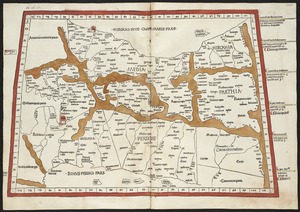
7081.
Quinta Asie tabula continet Assyriam, Susianam, Medos, Persidem, Hyrcaniam, Parthiam & Carmania desertam
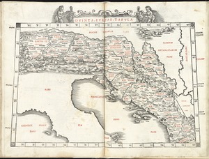
7082.
Quinta Europae tabula
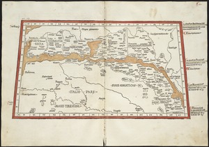
7083.
Quinta Europe tabula continet Rhetia
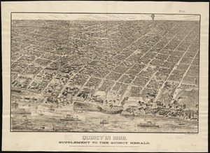
7084.
Qunicy in 1888 : supplement to the Quincy Herald
7085.
The races of Europe
7086.
Racine & Kenosha Counties, Wis.
7087.
Racing routes of the Yankee clippers
7088.
Radio map of the United States
7089.
Radio reference map of the United States
7090.
Radiotelegraph and radiotelephone communication systems of France : radiotelegraph communication system of the French Ministry...
7091.
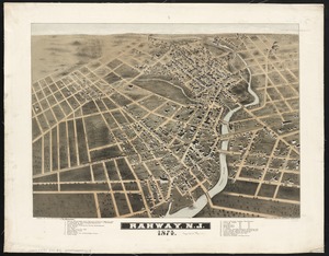
Rahway, N.J : 1874
7092.
Rail road map : showing the street rail road routes in and leading from Boston, with the terminus of each road in suburban...
7093.
Rail road map of New England & eastern New York
7094.
Rail road map of New England & eastern New York
7095.
Rail road map of Pennsylvania
7096.
Rail road map of Pennsylvania
7097.
Rail road map of the southern states shewing the southern & southwestern railway connections with Philadelphia
7098.
Railroad and county map of Mississippi
7099.
Railroad Commissioners' map of the State of Vermont
7100.
Railroad distance map of the United States, Mexico & Canada
‹ Prev
Next ›
1
2
…
351
352
353
354
355
356
357
358
359
…
438
439