Toggle navigation
LMEC Home
Exhibitions
Georeferencing
Tools for Teachers
Collections
My Favorites
Sign Up / Log In
Search
Search the map portal
Map Collection
Map Collection
Map Sets
Search
Search
Search for
Search In
All Fields
Creator
Title
Subject
Place
Search All Digital Collections
Advanced Search
8699 Results
My Search
Start Over
More Like
commonwealth:0k227t918
Remove constraint More Like: commonwealth:0k227t918
Filter your Search
Place
North and Central America
5,930
United States
4,848
Massachusetts
2,079
Europe
1,396
Suffolk (county)
1,046
Boston
1,019
Canada
448
Asia
438
more
Place
»
Topic
Boston (Mass.)--Maps
586
United States--Maps
282
Real property--Massachusetts--Boston--Maps
175
Massachusetts--Maps
162
Landowners--Massachusetts--Boston--Maps
133
North America--Maps--Early works to 1800
103
New England--Maps
102
Europe--Maps
79
more
Topic
»
Date
Date range begin
–
Date range end
Current results range from
1482
to
2023
View distribution
Creator
United States. Hydrographic Office
595
O.H. Bailey & Co
148
Des Barres, Joseph F. W. (Joseph Frederick Wallet), 1722-1824
123
United States. Post Office Dept
120
Ptolemy, 2nd cent
100
Walling, Henry Francis, 1825-1888
94
Geological Survey (U.S.)
86
Jefferys, Thomas, -1771
85
more
Creator
»
Format
Maps/Atlases
8,639
Manuscripts
215
Prints
56
Books
36
Objects/Artifacts
10
Drawings/Illustrations
8
Posters
5
Georeferenced
Yes
869
No
7,830
Collection
Norman B. Leventhal Map & Education Center Collection
8,694
Boston and New England Maps
2,233
Urban Maps
2,023
Maritime Charts and Atlases
1,083
American Revolutionary War-Era Maps
621
Boston Redevelopment Authority Collection
87
MacLean Collection Map Library
2
William L. Clements Library Collection
2
more
Collection
»
Available to use
No known restrictions
8,552
Creative Commons license
48
Search Constraints
Sort by relevance
relevance
title
date (asc)
date (desc)
Number of results to display per page
20 per page
10
per page
20
per page
50
per page
100
per page
View results as:
grid view
map view
Search Results
1.
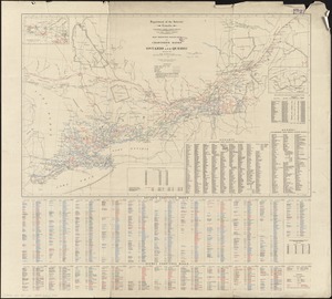
Map of Cleveland & Toledo Rail Road, with its connections
2.
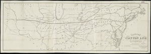
Map of the Clinton Line Railroad and its connections
3.
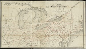
Map of the Sunbury and Erie Rail Road and its connections
4.
Map of the Vermont Central Rail Road and its connections, forming the Great Northern Route from the Atlantic to Montreal and...
5.
Map of the West Shore Railroad and connections
6.
Outline map of the great northern route from Boston and New York to the Mississippi
7.
Traveller's map of the middle, northern, eastern states and Canada showing all the railroad, steamboat, canal, and principal...
8.
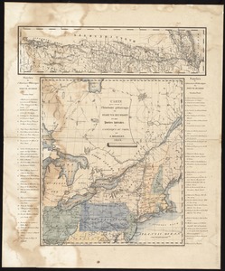
Map of Ontario and Quebec showing location and capacity of flour mills and elevators
9.
Map showing branches of chartered banks in Ontario and Quebec
10.
Scarborough's map of Ontario : with an index of all cities, villages, post-offices and railway stations and population...
11.
Center of New York, first city of the world
12.
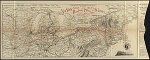
Map of the New York Central & Hudson River and Boston & Albany Railroads : sea shore and summer resorts of New York and New...
13.
Carte pour servir à l'itinéraire pittoresque du fleuve Hudson et des parties latérales de l'Amerique du Nord
14.
The city of New York as laid out by the Commissioners with the surrounding country
15.
Map of the northern & eastern section of the United States
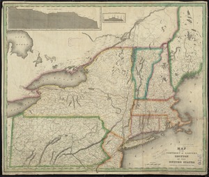
16.
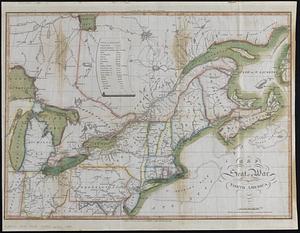
Map of the seat of war in North America
17.
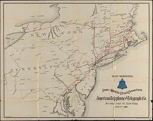
Map showing long distance telephone lines and metallic circuit connections
18.
A new map of part of the United States of North America, containing those of New York, Vermont, New Hampshire, Massachusets...
19.
Northern provinces of the United States
20.
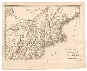
Carte de la partie septentrionale des Etats-Unis
‹ Prev
Next ›
1
2
3
4
5
…
434
435


![A new map of part of the United States of North America, containing those of New York, Vermont, New Hampshire, Massachusets [sic], Connecticut, Rhode Island, Pennsylvania, New Jersey, Delaware, Maryland and Virginia](https://bpldcassets.blob.core.windows.net/derivatives/images/commonwealth:6t053p06v/image_thumbnail_300.jpg)