Toggle navigation
LMEC Home
Exhibitions
Georeferencing
Tools for Teachers
Collections
My Favorites
Sign Up / Log In
Search
Search the map portal
Map Collection
Map Collection
Map Sets
Search
Search
Search for
Search In
All Fields
Creator
Title
Subject
Place
Search All Digital Collections
Advanced Search
7 Results
My Search
Start Over
More Like
commonwealth:td96ns348
Remove constraint More Like: commonwealth:td96ns348
Topic
Worcester (Mass.)--Maps
Remove constraint Topic: Worcester (Mass.)--Maps
Filter your Search
Place
North and Central America
7
United States
5
Worcester
5
Worcester (county)
5
Massachusetts
2
Topic
Worcester (Mass.)--Maps
[remove]
7
Landowners--Massachusetts--Worcester--Maps
5
Real property--Massachusetts--Worcester--Maps
5
Boston (Mass.)--Maps
2
Massachusetts--Maps
2
Barnstable (Mass. : Town)--Maps
1
Belmont (Mass.)--Maps
1
Berkshire (Mass.)--Maps
1
more
Topic
»
Date
Date range begin
–
Date range end
Current results range from
1870
to
1922
1870 : 1923
1870
1923
View distribution
Creator
Geo. H. Walker & Co.
2
Richards Map Company
2
Walker, O. W. (Oscar W.)
2
Beers, F. W. (Frederick W.)
1
F.W. Beers & Co.
1
Geological Survey (U.S.)
1
Hart, Chas. (Charles), active 1870-1880
1
Hopkins, Griffith Morgan, Jr.
1
more
Creator
»
Format
Maps/Atlases
7
Georeferenced
No
7
Collection
Massachusetts Real Estate Atlases
7
Search Constraints
Sort by relevance
relevance
title
date (asc)
date (desc)
Number of results to display per page
20 per page
10
per page
20
per page
50
per page
100
per page
View results as:
grid view
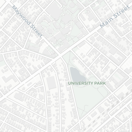
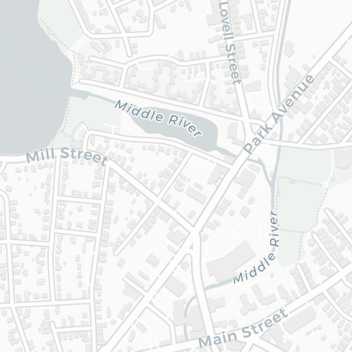
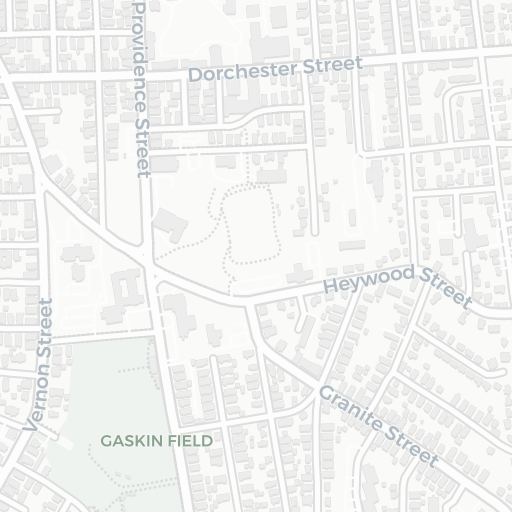
map view
Search Results
1.
Atlas of Massachusetts
2.
Atlas of Massachusetts
3.
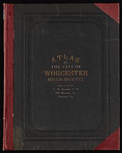
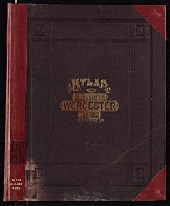
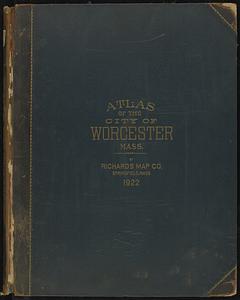
Atlas of the city of Worcester, Massachusetts
4.
Atlas of the city of Worcester, Massachusetts
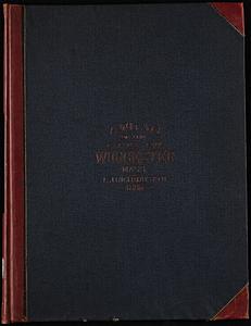
5.
Atlas of the city of Worcester, Worcester County, Massachusetts
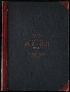
6.
Richards Standard Atlas of the city of Worcester, Massachusetts
7.
Richards standard atlas of the city of Worcester, Massachusetts
+
-
Redo search here
Search when I move the map
Leaflet
| ©
OpenStreetMap
contributors, ©
CartoDB