Toggle navigation
LMEC Home
Exhibitions
Georeferencing
Tools for Teachers
Collections
My Favorites
Sign Up / Log In
Search
Search the map portal
Map Collection
Map Collection
Map Sets
Search
Search
Search for
Search In
All Fields
Creator
Title
Subject
Place
Search All Digital Collections
Advanced Search
80 Results
My Search
Start Over
More Like
commonwealth:9s161j67p
Remove constraint More Like: commonwealth:9s161j67p
Topic
Europe--Maps
Remove constraint Topic: Europe--Maps
Filter your Search
Place
Europe
79
Asia
4
Middle East
3
North Sea
3
Africa
2
Turkey
2
Alps
1
Balkan Peninsula
1
more
Place
»
Topic
Europe--Maps
[remove]
80
Franco-Prussian War, 1870-1871--Maps
12
World War, 1914-1918--Europe--Maps
8
Ethnology--Europe--Maps
5
Railroads--Europe--Maps
5
World War, 1914-1918--Maps
5
North Sea Region--Maps
3
Telegraph lines--Europe--Maps
3
more
Topic
»
Date
Date range begin
–
Date range end
Current results range from
1513
to
1942
1513 : 1943
1513
1943
View distribution
Creator
Gross, Alexander, 1879-1958
5
G.W. Bacon & Co.
4
George Philip & Son
4
Cruchley, G. F.
3
G.W. Bacon & Co
3
C.S. Hammond & Company
2
Chartier, A. T.
2
Chase, Ernest Dudley, 1878-1966
2
more
Creator
»
Format
Maps/Atlases
79
Prints
1
Georeferenced
Yes
14
No
66
Collection
Norman B. Leventhal Map & Education Center Collection
79
Sidney R. Knafel Map Collection at Phillips Academy
1
Available to use
No known restrictions
79
Search Constraints
Sort by relevance
relevance
title
date (asc)
date (desc)
Number of results to display per page
20 per page
10
per page
20
per page
50
per page
100
per page
View results as:
grid view
map view
Search Results
1.
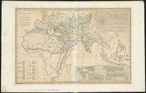
Eslam or the countries which have professed the faith of Mahomet
2.
Generale Ptholemei
3.
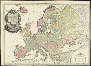
An accurate map of Europe from the best authorities
4.
Angling in troubled waters = der fischfang im truben = la peche en eau trouble = la pesca nelle acque turbes : a serio-comic...
5.
Bacon's large scale shilling map of seat of war from Paris to Berlin, and the Baltic
6.
Bacon's map of Europe
7.
Bacon's map of Europe
8.
Bacon's map of Europe
9.
Bacon's military map of Central Europe, in bold print for tracing the movements of the armies
10.
Bacon's new shilling war map Paris to Berlin
11.
Blackwood's map of the seat of war
12.
Bradshaw's map of Europe shewing the railways opened and in progress
13.
Carte de l'Europe divisée en ses principaux états
14.
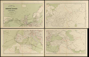
Carte des communications télégraphiques du régime européen
15.
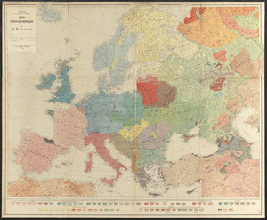
Carte ethnographique de l'Europe
16.
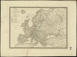
Carte générale de l'Europe, en 1824
17.
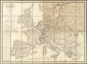
Carte itinéraire de l'Europe indiquant les limites actuelles des etats : dediée au Roi
18.
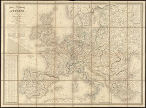
Carte itinéraire de l'Europe indiquant les limites actuelles des etats : dédiée au Roi
19.
Carte physique, politique, statistique et comparative de l'Europe, dediée à S.E. le Lieutt. Génl. Comte Guilleminot pair de...
20.
Central & Eastern Europe (nationalities)
‹ Prev
Next ›
1
2
3
4