Toggle navigation
LMEC Home
Exhibitions
Georeferencing
Tools for Teachers
Collections
My Favorites
Sign Up / Log In
Search
Search the map portal
Map Collection
Map Collection
Map Sets
Search
Search
Search for
Search In
All Fields
Creator
Title
Subject
Place
Search All Digital Collections
Advanced Search
11 Results
My Search
Start Over
More Like
commonwealth:zs263t266
Remove constraint More Like: commonwealth:zs263t266
Format
Maps/Atlases
Remove constraint Format: Maps/Atlases
Topic
New England--Maps--Early works to 1800
Remove constraint Topic: New England--Maps--Early works to 1800
Filter your Search
Place
New England
11
North and Central America
11
United States
11
Canada
3
North America
3
Maritime Provinces
1
Middle Atlantic
1
New York
1
more
Place
»
Topic
New England--Maps--Early works to 1800
[remove]
11
North America--Maps--Early works to 1800
5
Canada--Maps--Early works to 1800
2
Atlantic Provinces--Maps--Early works to 1800
1
Banks (Oceanography)--North Atlantic Ocean--Maps--Early works to 1800
1
Middle Atlantic States--Maps--Early works to 1800
1
New York (State)--Maps--Early works to 1800
1
Québec (Province)--Maps--Early works to 1800
1
more
Topic
»
Date
Date range begin
–
Date range end
Current results range from
1636
to
1795
1636 : 1796
1636
1796
View distribution
Creator
Bowles, Carington, 1724-1793
2
Bowles, John, 1701-1779
2
Laurie & Whittle
2
Doncker, Hendrick, 1626-1699
1
Green, John, -1757
1
Jansson, Jan, 1588-1664
1
Jefferys, Thomas, -1771
1
Lotter, Tobias Conrad, 1717-1777
1
more
Creator
»
Format
Maps/Atlases
[remove]
11
Georeferenced
Yes
1
No
10
Collection
American Revolutionary War-Era Maps
9
MacLean Collection Map Library
6
Norman B. Leventhal Map & Education Center Collection
3
Sidney R. Knafel Map Collection at Phillips Academy
2
Boston and New England Maps
1
Mapping Boston Collection
1
Available to use
No known restrictions
2
Creative Commons license
1
Search Constraints
Sort by relevance
relevance
title
date (asc)
date (desc)
Number of results to display per page
20 per page
10
per page
20
per page
50
per page
100
per page
View results as:
grid view
map view
Search Results
1.
Map of the northern, or, New England states of America, comprehending Vermont, New Hampshire, District of Main, Massachusetts,...
2.
Map of the northern, or, New England states of America, comprehending Vermont, New Hampshire, District of Main, Massachusetts,...
3.
A new map of the most considerable plantations of the English in America
4.
Noua Anglia, Nouum Belgium, et Virginia
5.
Pas-caert van Terra Nova, Nova Francia, Nieuw-Engeland en de groote rivier van Canada
6.
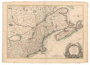
A map of the most inhabited part of New England, containing the provinces of Massachusets Bay and New Hampshire, with the...
7.
A map of the most inhabited part of New England, containing the provinces of Massachusets Bay and New Hampshire, with the...
8.
A map of the most inhabited part of New England, containing the provinces of Massachusets Bay and New Hampshire, with the...
9.
A map of the most inhabited part of New England, containing the provinces of Massachusetts Bay and New Hampshire, with the...
10.
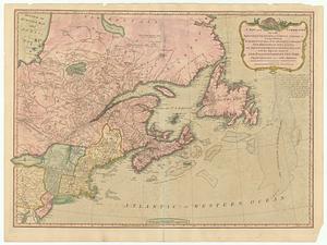
A new and correct map of the British colonies in North America : comprehending eastern Canada with the province of Quebec, New...
11.
Partie septentrionale des possessions angloise en Amerique