Toggle navigation
LMEC Home
Exhibitions
Georeferencing
Tools for Teachers
Collections
My Favorites
Sign Up / Log In
Search
Search the map portal
Map Collection
Map Collection
Map Sets
Search
Search
Search for
Search In
All Fields
Creator
Title
Subject
Place
Search All Digital Collections
Advanced Search
13436 Results
Filter your Search
Place
North and Central America
10,161
United States
8,299
Massachusetts
2,739
Suffolk (county)
1,667
Boston
1,623
Europe
1,386
Canada
949
New York
640
more
Place
»
Topic
Boston (Mass.)--Maps
742
City planning--Massachusetts--Boston--Maps
418
United States--History--Revolution, 1775-1783--Maps
329
United States--Maps
315
Urban renewal--Massachusetts--Boston--Maps
254
Real property--Massachusetts--Boston--Maps
252
Massachusetts--Maps
228
Insurance surveys
197
more
Topic
»
Date
Date range begin
–
Date range end
Current results range from
1482
to
2023
View distribution
Creator
United States. Hydrographic Office
595
Boston Redevelopment Authority
403
Des Barres, Joseph F. W. (Joseph Frederick Wallet), 1722-1824
247
Royal United Services Institute for Defence and Security Studies
160
Jefferys, Thomas, -1771
154
George, III, King of Great Britain, 1738-1820
152
George, IV, King of Great Britain, 1762-1830
151
O.H. Bailey & Co
148
more
Creator
»
Format
Maps/Atlases
13,255
Manuscripts
985
Prints
102
Books
49
Drawings/Illustrations
44
Photographs
15
Objects/Artifacts
13
Documents
7
more
Format
»
Georeferenced
Yes
979
No
12,457
Collection
Norman B. Leventhal Map & Education Center Collection
8,942
American Revolutionary War-Era Maps
3,305
Boston and New England Maps
2,854
Urban Maps
2,402
Maritime Charts and Atlases
1,150
William L. Clements Library Collection
910
Library of Congress Collection
618
Boston Redevelopment Authority Collection
475
more
Collection
»
Available to use
No known restrictions
10,003
Creative Commons license
1,677
Search Constraints
Sort by relevance
relevance
title
date (asc)
date (desc)
Number of results to display per page
20 per page
10
per page
20
per page
50
per page
100
per page
View results as:
grid view
map view
Search Results
5621.
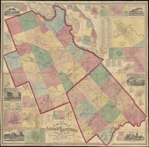
Map of the counties of Lanark and Renfrew, Canada West : from actual surveys under the direction of H.F. Walling
5622.
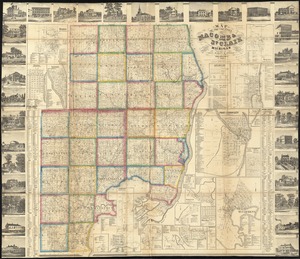
Map of the counties of Macomb & St. Clair, Michigan
5623.
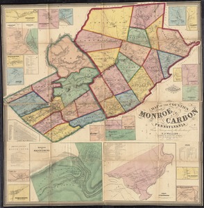
Map of the counties of Monroe and Carbon, Pennsylvania
5624.
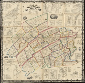
Map of the counties of Perry, Juniata and Mifflin, Pennsylvania
5625.
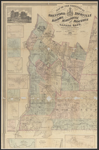
Map of the counties of Shefford, Iberville, Brome, Missisquoi, and Rouville, Canada East
5626.
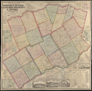
Map of the counties of Stormont, Dundas, Glengarry, Prescott & Russell, Canada West : from actual surveys under the direction...
5627.
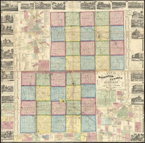
Map of the counties of Washtenaw and Lenawee, Michigan
5628.
Map of the countries near to the land of Oz
5629.
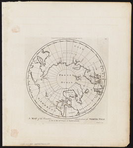
A map of the countries situate about the North Pole as far as the 50th. degree of north latitude
5630.
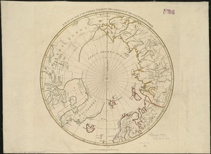
A map of the countries thirty degrees round the north pole
5631.
Map of the country about Boston
5632.
Map of the country about the Mississippi
5633.
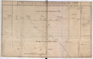
Map of the country adjacent to Fort [Franklin] on French Creek
5634.
A map of the country adjacent to Kingsbridge, surveyed by order of his excellency General Sir Henry Clinton K.B., commander in...
5635.
A Map of the Country Adjacent to the North Boundary Line of of the Colony of Rhode Island as the same was Run by Commissioners...
5636.
A map of the country adjacent to the north boundary line of the colony of Rhode Island as the same was run by commissioners...
5637.
Map of the country between and bordering the Delaware River and Chesapeake Bay : showing roads to Philadelphia and localities
5638.
A Map of the country between Crown Point and Ford Edward
5639.
Map of the country between Monterey, Tenn: & Corinth, Miss: showing the lines of entrenchments made & the routes followed by...
5640.
Map of the country between Washington & Pittsburg refering to the contemplated Chesapeake & Ohio Canal and its general route...
‹ Prev
Next ›
1
2
…
278
279
280
281
282
283
284
285
286
…
671
672

![Map of the country adjacent to Fort [Franklin] on French Creek](https://bpldcassets.blob.core.windows.net/derivatives/metadata/commonwealth-oai:2v240r691/image_thumbnail_300.jpg)