Toggle navigation
LMEC Home
Exhibitions
Georeferencing
Tools for Teachers
Collections
My Favorites
Sign Up / Log In
Search
Search the map portal
Map Collection
Map Collection
Map Sets
Search
Search
Search for
Search In
All Fields
Creator
Title
Subject
Place
Search All Digital Collections
Advanced Search
2487 Results
My Search
Start Over
boston atlas
Remove constraint boston atlas
Filter your Search
Place
North and Central America
1,111
United States
667
Europe
345
Canada
187
Suffolk (county)
160
Boston
157
Asia
134
South America
99
more
Place
»
Topic
Landowners--Massachusetts--Boston--Maps
115
Real property--Massachusetts--Boston--Maps
106
United States--Maps
85
Boston (Mass.)--Maps
63
Nautical charts--Early works to 1800
39
Buildings--Massachusetts--Boston--Maps
34
Elections--United States--Maps
34
Nova Scotia--Maps--Early works to 1800
33
more
Topic
»
Date
Date range begin
–
Date range end
Current results range from
1482
to
2023
View distribution
Creator
United States. Hydrographic Office
582
Des Barres, Joseph F. W. (Joseph Frederick Wallet), 1722-1824
116
Ptolemy, 2nd cent
100
Bromley, George Washington
86
Bromley, Walter Scott
84
Carey, Mathew, 1760-1839
72
Paullin, Charles Oscar, 1868 or 1869-1944
70
United States Exploring Expedition (1838-1842)
70
more
Creator
»
Format
Maps/Atlases
2,478
Books
34
Manuscripts
13
Prints
8
Drawings/Illustrations
1
Georeferenced
Yes
133
No
2,354
Collection
Norman B. Leventhal Map Center Collection
2,386
Maritime Charts and Atlases
1,112
Boston and New England Maps
374
American Revolutionary War-Era Maps
285
Urban Maps
250
Massachusetts Real Estate Atlases
72
Mapping Boston Collection
61
Lucius Beebe Memorial Library Historic Maps
11
more
Collection
»
Available to use
No known restrictions
2,253
Creative Commons license
73
Search Constraints
Sort by relevance
relevance
title
date (asc)
date (desc)
Number of results to display per page
50 per page
10
per page
20
per page
50
per page
100
per page
View results as:
grid view
map view
Search Results
201.
New topographical atlas of the county of Hampden, Massachusetts : containing thirty-three double page maps, in colors, of the...
202.
New topographical atlas of the county of Worcester, Massachusetts : containing fifty-five double page maps, in colors, of the...
203.
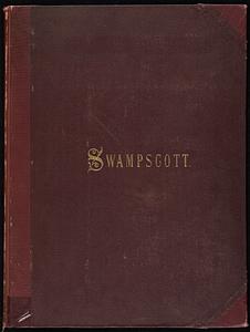
Atlas of the town of Swampscott, Essex County, Mass. : from official plans and actual surveys
204.
Atlas of the city of Cambridge, Middlesex Co., Massachusetts
205.
Atlas of the city of Newton, Middlesex Co., Massachusetts : from actual survey, official records & private plans
206.
Atlas of the town of Brookline, Norfolk County, Massachusetts : from actual surveys and official plans
207.
Atlas of the town of Brookline, Norfolk County, Massachusetts : from actual surveys and official plans
208.
Atlas of the town of Brookline, Norfolk County, Massachusetts : from actual surveys and official plans
209.
Atlas of the town of Brookline, Norfolk County, Massachusetts : from actual surveys and official plans
210.
Atlas of the town of Brookline, Norfolk County, Massachusetts : from actual surveys and official plans
211.
Atlas of the town of Brookline, Norfolk County, Massachusetts : from actual surveys and official plans
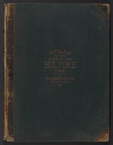
212.
Richards standard atlas of the city of Holyoke, Massachusetts : containing ten double page maps in colors, covering the entire...
213.
Atlas of the town of Nahant, Essex County, Mass.
214.
Atlas of the city of Beverly, Essex County, Massachusetts
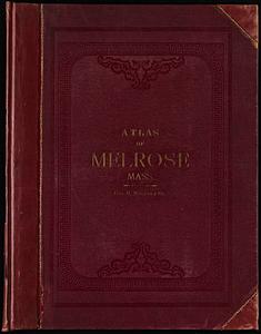
215.
Atlas of the town of Melrose, Middlesex County, Massachusetts
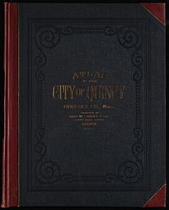
216.
Atlas of the city of Quincy, Norfolk County, Massachusetts
217.
Atlas of the town of Swampscott, Essex County, Mass. : from official plans and actual surveys
218.
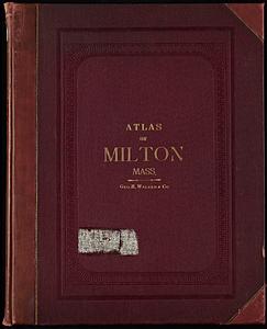
Atlas of the town of Milton, Norfolk County, Massachusetts
219.
Atlas of the town of Milton, Norfolk County, Massachusetts
220.
Atlas of the city of Beverly, Essex County, Massachusetts
221.
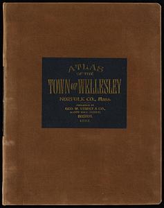
Atlas of the town of Wellesley, Norfolk County, Mass. : from official plans and actual surveys
222.
Atlas of the county of Suffolk, Massachusetts : vol. 4th including East Boston, city of Chelsea, Revere and Winthrop : from...
223.
The Rand McNally new commercial atlas map of North Carolina
224.
The Rand McNally new commercial atlas map of South Carolina
225.
Atlas of Brookfield, West Brookfield and No. Brookfield towns, Massachusetts : compiled from recent and actual surveys and records
226.
Atlas of Brookfield, West Brookfield and North Brookfield towns, Massachusetts
227.
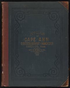
Atlas of Cape Ann, Gloucester, Rockport and Manchester, Essex County, Mass. : from official plans and actual surveys
228.
Atlas of the towns of Revere and Winthrop, Suffolk County, Massachusetts
229.
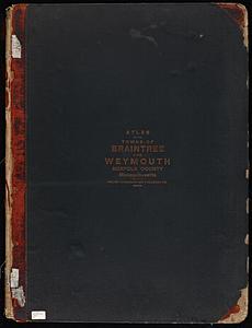
Atlas of the towns of Braintree and Weymouth, Norfolk County, Massachusetts : from official plans and actual surveys
230.
Atlas of the towns of Braintree and Weymouth, Norfolk County, Massachusetts
231.
Atlas of Cape Ann, Gloucester, Rockport and Manchester, Essex County, Mass
232.
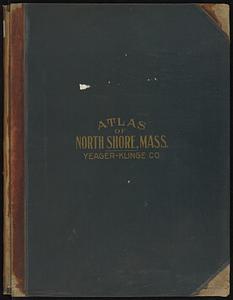
Atlas of the North Shore, Beverly to Magnolia, Essex Co., Massachusetts
233.
Massachusetts : atlas plate no. 15
234.
Rand, McNally & Co.'s indexed atlas of the world map of Quebec
235.
Atlas of the city of Springfield and the town of Longmeadow, Massachusetts : based upon, and carefully compiled from official...
236.
Rand, McNally & Co.'s indexed atlas of the world map of Germany
237.
Atlas of the county of Suffolk, Massachusetts : vol. 2nd late city of Roxbury, now wards 13-14 and 15, city of Boston
238.
Rand, McNally & Co.'s indexed atlas of the world map of South America
239.
Atlas of the towns of Watertown, Belmont, Arlington and Lexington, Middlesex County, Mass. : from official plans and actual...
240.
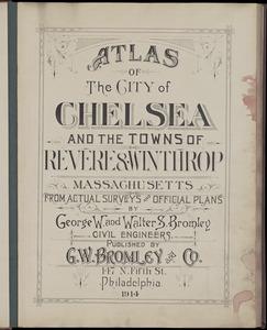
Atlas of the city of Chelsea and the towns of Revere & Winthrop, Massachusetts : from actual surveys and official plans
241.
Atlas of the city of Chelsea and the towns of Revere and Winthrop : from actual surveys and official plans
242.
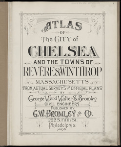
Atlas of the city of Chelsea and the towns of Revere & Winthrop, Massachusetts : from actual surveys and official plans
243.
Atlas of the county of Suffolk, Massachusetts : vol. 6th including the late city of Charlestown, now wards 20,21 and 22, city...
244.
Atlas of the city of Northampton and the town of Easthampton, Hampshire County, Massachusetts
245.
Atlas of the towns of Needham, Dover, Westwood, Millis and Medfield, Norfolk County, Massachusetts : from official plans and...
246.
Richards standard atlas of the city of Springfield and the town of Longmeadow, Massachusetts
247.
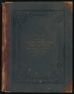
Atlas of the towns of Topsfield, Ipswich, Essex, Hamilton and Wenham, Essex County, Massachusetts : from official plans and...
248.
Atlas of the towns of Topsfield, Ipswich, Essex, Hamilton and Wenham, Essex County, Massachusetts
249.
Atlas of the towns of Needham, Dover, Westwood, Millis and Medfield, Norfolk county, Massachusetts
250.
Rand, McNally & Co.'s indexed atlas of the world map of Bolivia, Ecuador, and Peru
‹ Prev
Next ›
1
2
3
4
5
6
7
8
9
…
49
50