Toggle navigation
LMEC Home
Exhibitions
Georeferencing
Tools for Teachers
Collections
My Favorites
Sign Up / Log In
Search
Search the map portal
Map Collection
Map Collection
Map Sets
Search
Search
Search for
Search In
All Fields
Creator
Title
Subject
Place
Search All Digital Collections
Advanced Search
13588 Results
Filter your Search
Place
North and Central America
10,254
United States
8,385
Massachusetts
2,784
Suffolk (county)
1,677
Boston
1,633
Europe
1,413
Canada
950
New York
646
more
Place
»
Topic
Boston (Mass.)--Maps
747
City planning--Massachusetts--Boston--Maps
418
United States--History--Revolution, 1775-1783--Maps
329
United States--Maps
321
Real property--Massachusetts--Boston--Maps
254
Urban renewal--Massachusetts--Boston--Maps
254
Massachusetts--Maps
231
Insurance surveys
197
more
Topic
»
Date
Date range begin
–
Date range end
Current results range from
1482
to
2023
View distribution
Creator
United States. Hydrographic Office
597
Boston Redevelopment Authority
404
Des Barres, Joseph F. W. (Joseph Frederick Wallet), 1722-1824
247
Royal United Services Institute for Defence and Security Studies
160
Jefferys, Thomas, -1771
154
George, III, King of Great Britain, 1738-1820
152
George, IV, King of Great Britain, 1762-1830
151
O.H. Bailey & Co
148
more
Creator
»
Format
Maps/Atlases
13,407
Manuscripts
985
Prints
102
Books
49
Drawings/Illustrations
44
Photographs
15
Objects/Artifacts
13
Documents
7
more
Format
»
Georeferenced
Yes
979
No
12,609
Collection
Norman B. Leventhal Map & Education Center Collection
9,088
American Revolutionary War-Era Maps
3,305
Boston and New England Maps
2,906
Urban Maps
2,465
Maritime Charts and Atlases
1,169
William L. Clements Library Collection
910
Library of Congress Collection
618
Boston Redevelopment Authority Collection
475
more
Collection
»
Available to use
No known restrictions
10,155
Creative Commons license
1,677
Search Constraints
Sort by relevance
relevance
title
date (asc)
date (desc)
Number of results to display per page
20 per page
10
per page
20
per page
50
per page
100
per page
View results as:
grid view
map view
Search Results
521.
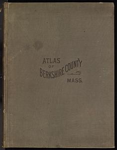
Atlas of Berkshire County, Massachusetts
522.
Atlas of Berkshire County, Massachusetts
523.
Atlas of Bristol Co., Massachusetts : from actual surveys
524.
Atlas of Brookfield, West Brookfield and No. Brookfield towns, Massachusetts : compiled from recent and actual surveys and records
525.
Atlas of Brookfield, West Brookfield and North Brookfield towns, Massachusetts
526.
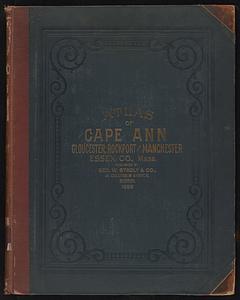
Atlas of Cape Ann, Gloucester, Rockport and Manchester, Essex County, Mass
527.
Atlas of Cape Ann, Gloucester, Rockport and Manchester, Essex County, Mass. : from official plans and actual surveys
528.
Atlas of Dorchester, West Roxbury, and Brighton, City of Boston
529.
Atlas of Dorchester, West Roxbury and Brighton, city of Boston
530.
Atlas of Essex County, Massachusetts
531.
Atlas of Essex County, Massachusetts : from actual surveys and official records
532.
Atlas of Fall River City, Massachusetts
533.
Atlas of Fall River City, Massachusetts
534.
Atlas of Franklin Co., Massachusetts : from actual surveys
535.
Atlas of Franklin Co. Massachusetts : from actual surveys
536.
Atlas of Gardner town, Massachusetts
537.
Atlas of Gardner town, Massachusetts
538.
Atlas of Greenfield town, Massachusetts
539.
Atlas of Greenfield Town, Massachusetts
540.
Atlas of Hampden Co., Massachusetts : from actual surveys
‹ Prev
Next ›
1
2
…
23
24
25
26
27
28
29
30
31
…
679
680