Toggle navigation
LMEC Home
Exhibitions
Georeferencing
Tools for Teachers
Collections
My Favorites
Sign Up / Log In
Search
Search the map portal
Map Collection
Map Collection
Map Sets
Search
Search
Search for
Search In
All Fields
Creator
Title
Subject
Place
Search All Digital Collections
Advanced Search
13680 Results
Filter your Search
Place
North and Central America
10,344
United States
8,475
Massachusetts
2,789
Suffolk (county)
1,677
Boston
1,633
Europe
1,415
Canada
950
New York
649
more
Place
»
Topic
Boston (Mass.)--Maps
747
City planning--Massachusetts--Boston--Maps
418
United States--History--Revolution, 1775-1783--Maps
329
United States--Maps
322
Real property--Massachusetts--Boston--Maps
254
Urban renewal--Massachusetts--Boston--Maps
254
Massachusetts--Maps
231
Insurance surveys
197
more
Topic
»
Date
Date range begin
–
Date range end
Current results range from
1482
to
2023
View distribution
Creator
United States. Hydrographic Office
597
Boston Redevelopment Authority
404
Des Barres, Joseph F. W. (Joseph Frederick Wallet), 1722-1824
247
Royal United Services Institute for Defence and Security Studies
160
Jefferys, Thomas, -1771
154
George, III, King of Great Britain, 1738-1820
152
George, IV, King of Great Britain, 1762-1830
151
O.H. Bailey & Co
148
more
Creator
»
Format
Maps/Atlases
13,499
Manuscripts
985
Prints
102
Books
49
Drawings/Illustrations
44
Photographs
15
Objects/Artifacts
13
Documents
7
more
Format
»
Georeferenced
Yes
979
No
12,701
Collection
Norman B. Leventhal Map & Education Center Collection
9,096
American Revolutionary War-Era Maps
3,305
Boston and New England Maps
2,915
Urban Maps
2,471
Maritime Charts and Atlases
1,169
William L. Clements Library Collection
910
Library of Congress Collection
618
Boston Redevelopment Authority Collection
475
more
Collection
»
Available to use
No known restrictions
10,246
Creative Commons license
1,678
Search Constraints
Sort by relevance
relevance
title
date (asc)
date (desc)
Number of results to display per page
20 per page
10
per page
20
per page
50
per page
100
per page
View results as:
grid view
map view
Search Results
13181.
View of Stoneham, Mass : 1878
13182.
View of Stonington, Conn : 1879
13183.
A view of the castle of Belem and the city of Lisbon as it appears from thence ; A map of the mouth of the famous river Tagus...
13184.
[View of the Charles River]
13185.
View of the city of New Bedford, Mass : 1876
13186.
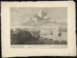
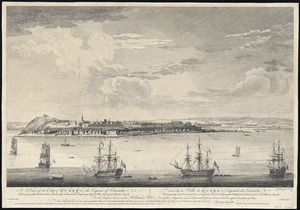
A view of the city of Quebec, the capital of Canada, taken partly from the Pointe des Peres, and partly on board the Vanguard...
13187.
View of the city of St. Augustine, Fla : the oldest town in the United States, Juan de Ponce de Leon ldd [?] 1512
13188.
View of the city of Waterbury, Conn : 1876
13189.
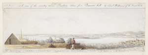
A View of the country round Boston taken from Beacon hill : shewing the Lines, Ridouts & Different Encampments of the Rebels...
13190.
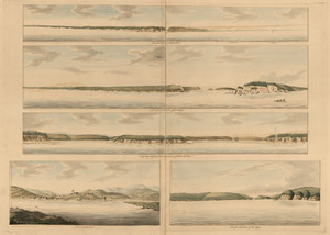
[View of the country round Boston taken from Beacon hill]
13191.
[View of the country round Boston taken from Beacon hill]
13192.
[View of the country round Boston taken from Beacon hill]
13193.
[View of the country round Boston taken from Beacon hill]
13194.
[View of the country round Boston taken from Beacon hill]
13195.
A view of the country towards Dorchester, taken from the advanced works on Boston Neck : Long Island open on the north side of...
13196.
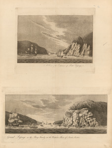
A view of the east end of the Isle Sable ... : The eastern end of the Isle Sable ... ; A view taken from the south side of the...
13197.
View of the entrance into Annapolis Bason ; View of the north entrance of Grand Passage ; View of Eden and Gascoyne Rivers ......
13198.
A view of the entrance of Petit Passage ; Grand Passage in the Bay Fundy, on the western shore of Nova Scotia
13199.
A view of the Great Bridge near Norfolk in Virginia where the action happened between a detachment of the 14th Regt: & a body...
13200.
A view of the landing place above the town of Quebec, describing the assault of the enemys post, on the banks of the River St....
‹ Prev
Next ›
1
2
…
656
657
658
659
660
661
662
663
664
…
683
684


![[View of the Charles River]](https://bpldcassets.blob.core.windows.net/derivatives/images/commonwealth:dz010v735/image_thumbnail_300.jpg)


![[View of the country round Boston taken from Beacon hill]](https://bpldcassets.blob.core.windows.net/derivatives/images/commonwealth:6108vv93v/image_thumbnail_300.jpg)
![[View of the country round Boston taken from Beacon hill]](https://bpldcassets.blob.core.windows.net/derivatives/images/commonwealth:6108vv97z/image_thumbnail_300.jpg)
![[View of the country round Boston taken from Beacon hill]](https://bpldcassets.blob.core.windows.net/derivatives/images/commonwealth:6108vv95d/image_thumbnail_300.jpg)
![[View of the country round Boston taken from Beacon hill]](https://bpldcassets.blob.core.windows.net/derivatives/images/commonwealth:6108vv99h/image_thumbnail_300.jpg)
![[View of the country round Boston taken from Beacon hill]](https://bpldcassets.blob.core.windows.net/derivatives/images/commonwealth:6108vw01b/image_thumbnail_300.jpg)