Toggle navigation
LMEC Home
Exhibitions
Georeferencing
Tools for Teachers
Collections
My Favorites
Sign Up / Log In
Search
Search the map portal
Map Collection
Map Collection
Map Sets
Search
Search
Search for
Search In
All Fields
Creator
Title
Subject
Place
Search All Digital Collections
Advanced Search
14028 Results
Filter your Search
Place
North and Central America
10,686
United States
8,696
Massachusetts
2,809
Suffolk (county)
1,682
Boston
1,638
Europe
1,420
Canada
1,009
New York
674
more
Place
»
Topic
Boston (Mass.)--Maps
748
City planning--Massachusetts--Boston--Maps
418
United States--History--Revolution, 1775-1783--Maps
331
United States--Maps
329
Real property--Massachusetts--Boston--Maps
254
Urban renewal--Massachusetts--Boston--Maps
254
North America--Maps--Early works to 1800
240
Massachusetts--Maps
234
more
Topic
»
Date
Date range begin
–
Date range end
Current results range from
1482
to
2023
View distribution
Creator
United States. Hydrographic Office
597
Boston Redevelopment Authority
404
Des Barres, Joseph F. W. (Joseph Frederick Wallet), 1722-1824
247
Jefferys, Thomas, -1771
172
Royal United Services Institute for Defence and Security Studies
160
George, III, King of Great Britain, 1738-1820
152
George, IV, King of Great Britain, 1762-1830
151
O.H. Bailey & Co
148
more
Creator
»
Format
Maps/Atlases
13,846
Manuscripts
985
Prints
102
Books
49
Drawings/Illustrations
44
Photographs
15
Objects/Artifacts
13
Documents
7
more
Format
»
Georeferenced
Yes
979
No
13,049
Collection
Norman B. Leventhal Map & Education Center Collection
9,110
American Revolutionary War-Era Maps
3,631
Boston and New England Maps
2,921
Urban Maps
2,480
Maritime Charts and Atlases
1,169
William L. Clements Library Collection
910
Library of Congress Collection
618
Boston Redevelopment Authority Collection
475
more
Collection
»
Available to use
No known restrictions
10,268
Creative Commons license
1,678
Search Constraints
Sort by relevance
relevance
title
date (asc)
date (desc)
Number of results to display per page
20 per page
10
per page
20
per page
50
per page
100
per page
View results as:
grid view
map view
Search Results
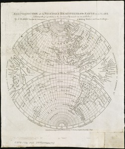
7601.
A new projection of the Western Hemisphere of the Earth on a plane : shewing the proportions of its several parts nearly as on...
7602.
New public library building, Boston, Mass. : 1/4 inch scale drawing for foundations of columns at Dartmouth Street entrance
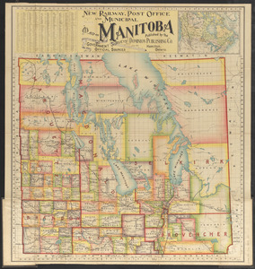
7603.
New railway, post office and municipal map of Manitoba : compiled from the latest government surveys and other official sources
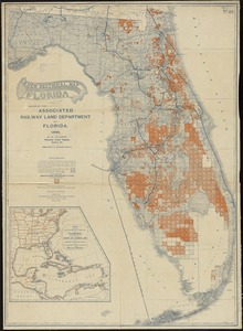
7604.
A new sectional map of Florida
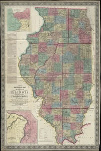
7605.
New sectional map of the state of Illinois : compiled from the United States surveys, also exhibiting the internal...
7606.
A new suruey of the harbour of Boston in New England
7607.
A new survey of the harbour of Boston in New England : done by order of the principall officers and comissioners of Her Maties....
7608.
New topographical atlas of surveys Bristol County, Massachusetts
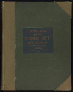
7609.
New topographical atlas of surveys Plymouth County, together with town of Cohasset, Norfolk County, Massachusetts
7610.
New topographical atlas of surveys Plymouth County, together with town of Cohasset, Norfolk County, Massachusetts ... based...
7611.
New topographical atlas of the county of Hampden, Massachusetts
7612.
New topographical atlas of the county of Hampden, Massachusetts : containing thirty-three double page maps, in colors, of the...
7613.
New topographical atlas of the county of Worcester, Massachusetts : containing fifty-five double page maps, in colors, of the...
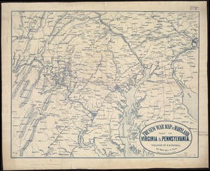
7614.
The new war map of Maryland, part of Virginia & Pennsylvania
7615.
The new war map of Virginia, Maryland & Pennsylvania
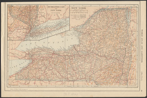
7616.
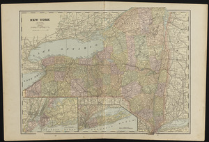
New York
7617.
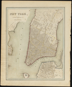
New York
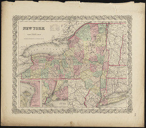
7618.
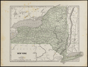
New York
7619.
New York
7620.
New York
‹ Prev
Next ›
1
2
…
377
378
379
380
381
382
383
384
385
…
701
702