Toggle navigation
LMEC Home
Exhibitions
Georeferencing
Tools for Teachers
Collections
My Favorites
Sign Up / Log In
Search
Search the map portal
Map Collection
Map Collection
Map Sets
Search
Search
Search for
Search In
All Fields
Creator
Title
Subject
Place
Search All Digital Collections
Advanced Search
13680 Results
Filter your Search
Place
North and Central America
10,344
United States
8,475
Massachusetts
2,789
Suffolk (county)
1,677
Boston
1,633
Europe
1,415
Canada
950
New York
649
more
Place
»
Topic
Boston (Mass.)--Maps
747
City planning--Massachusetts--Boston--Maps
418
United States--History--Revolution, 1775-1783--Maps
329
United States--Maps
322
Real property--Massachusetts--Boston--Maps
254
Urban renewal--Massachusetts--Boston--Maps
254
Massachusetts--Maps
231
Insurance surveys
197
more
Topic
»
Date
Date range begin
–
Date range end
Current results range from
1482
to
2023
View distribution
Creator
United States. Hydrographic Office
597
Boston Redevelopment Authority
404
Des Barres, Joseph F. W. (Joseph Frederick Wallet), 1722-1824
247
Royal United Services Institute for Defence and Security Studies
160
Jefferys, Thomas, -1771
154
George, III, King of Great Britain, 1738-1820
152
George, IV, King of Great Britain, 1762-1830
151
O.H. Bailey & Co
148
more
Creator
»
Format
Maps/Atlases
13,499
Manuscripts
985
Prints
102
Books
49
Drawings/Illustrations
44
Photographs
15
Objects/Artifacts
13
Documents
7
more
Format
»
Georeferenced
Yes
979
No
12,701
Collection
Norman B. Leventhal Map & Education Center Collection
9,096
American Revolutionary War-Era Maps
3,305
Boston and New England Maps
2,915
Urban Maps
2,471
Maritime Charts and Atlases
1,169
William L. Clements Library Collection
910
Library of Congress Collection
618
Boston Redevelopment Authority Collection
475
more
Collection
»
Available to use
No known restrictions
10,246
Creative Commons license
1,678
Search Constraints
Sort by relevance
relevance
title
date (asc)
date (desc)
Number of results to display per page
20 per page
10
per page
20
per page
50
per page
100
per page
View results as:
grid view
map view
Search Results
5461.
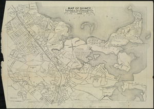
Map of Quincy
5462.
Map of Quincy
5463.
Map of Quincy
5464.
Map of Quincy
5465.
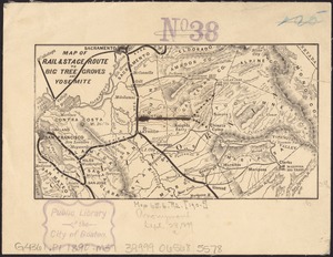
Map of rail & stage route to Big Tree Groves and Yosemite
5466.
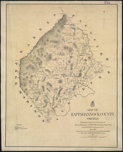
Map of Rappahannock County, Virginia : prepared under the direction of P.S. Michie
5467.
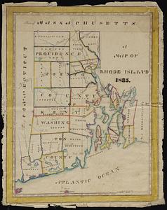
A map of Rhode Island
5468.
Map of Richland Co., Ohio
5469.
Map of River Park, Newton Upper Falls
5470.
Map of Rockingham County, Virginia
5471.
Map of routes for a Pacific railroad
5472.
Map of Rowley
5473.
[Map of Saint Simons and Jekyll Islands]
5474.
[Map of Saint Simons and Jekyll Islands with fortifications]
5475.
[Map of Salem, Mass.]
5476.
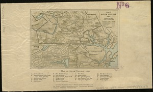
Map of Salem Village 1692
5477.
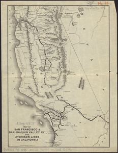
Map of San Francisco & San Joaquin Valley Ry. and Atchison lines in California
5478.
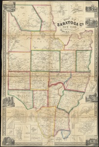
Map of Saratoga Co., New York
5479.
A map of Savannah River beginning at Stone-Bluff, or Nexttobethell, which continueth to the sea : also, the four sounds...
5480.
Map of Schuylkill County, Pennsylvania
‹ Prev
Next ›
1
2
…
270
271
272
273
274
275
276
277
278
…
683
684

![[Map of Saint Simons and Jekyll Islands]](https://bpldcassets.blob.core.windows.net/derivatives/images/commonwealth:hx11z454k/image_thumbnail_300.jpg)
![[Map of Saint Simons and Jekyll Islands with fortifications]](https://bpldcassets.blob.core.windows.net/derivatives/images/commonwealth:hx11z4564/image_thumbnail_300.jpg)
![[Map of Salem, Mass.]](https://bpldcassets.blob.core.windows.net/derivatives/images/commonwealth:8336h3099/image_thumbnail_300.jpg)