Toggle navigation
LMEC Home
Exhibitions
Georeferencing
Tools for Teachers
Collections
My Favorites
Sign Up / Log In
Search
Search the map portal
Map Collection
Map Collection
Map Sets
Search
Search
Search for
Search In
All Fields
Creator
Title
Subject
Place
Search All Digital Collections
Advanced Search
2532 Results
My Search
Start Over
boston atlas
Remove constraint boston atlas
Filter your Search
Place
North and Central America
1,383
United States
842
Europe
464
Massachusetts
355
South America
191
Asia
190
Canada
187
Suffolk (county)
162
more
Place
»
Topic
Landowners--Massachusetts--Boston--Maps
115
Real property--Massachusetts--Boston--Maps
106
United States--Maps
85
Boston (Mass.)--Maps
64
Nautical charts--Early works to 1800
39
Buildings--Massachusetts--Boston--Maps
34
Elections--United States--Maps
34
Nova Scotia--Maps--Early works to 1800
33
more
Topic
»
Date
Date range begin
–
Date range end
Current results range from
1482
to
2023
View distribution
Creator
United States. Hydrographic Office
584
Des Barres, Joseph F. W. (Joseph Frederick Wallet), 1722-1824
116
Ptolemy, 2nd cent
100
Bromley, George Washington
86
Bromley, Walter Scott
84
Carey, Mathew, 1760-1839
72
Paullin, Charles Oscar, 1868 or 1869-1944
70
United States Exploring Expedition (1838-1842)
70
more
Creator
»
Format
Maps/Atlases
2,523
Books
34
Manuscripts
13
Prints
8
Drawings/Illustrations
1
Georeferenced
Yes
133
No
2,399
Collection
Norman B. Leventhal Map & Education Center Collection
2,431
Maritime Charts and Atlases
1,131
Boston and New England Maps
386
American Revolutionary War-Era Maps
285
Urban Maps
271
Massachusetts Real Estate Atlases
72
Mapping Boston Collection
61
Applied Geographics, Inc. Records
23
more
Collection
»
Available to use
No known restrictions
2,298
Creative Commons license
73
Search Constraints
Sort by relevance
relevance
title
date (asc)
date (desc)
Number of results to display per page
20 per page
10
per page
20
per page
50
per page
100
per page
View results as:
grid view
map view
Search Results
121.
City atlas of Lawrence, Massachusetts : from official records, private plans and actual surveys, based upon plans deposited in...
122.
Atlas of the North Shore : Beverly to Magnolia, Essex Co. Mass. : from official plans and records and actual surveys
123.
Atlas of Barnstable County, Massachusetts : towns of Bourne, Mashpee, Falmouth, Sandwich, Barnstable, Yarmouth, Dennis,...
124.
Atlas of Worcester county, Massachusetts : from actual surveys
125.
County atlas of Berkshire Massachusetts
126.
County atlas of Hampshire, Massachusetts : from actual surveys
127.
Atlas of Berkshire County, Massachusetts
128.
Atlas of Hampden Co., Massachusetts : from actual surveys
129.
Atlas of Essex County, Massachusetts : from actual surveys and official records
130.
Official topographical atlas of Massachusetts : from astronomical, trigonometrical and various local surveys
131.
Atlas of Attleboro town, Massachusetts
132.
Atlas of Gardner town, Massachusetts
133.
Atlas of Barnstable County, Massachusetts : towns of Bourne, Mashpee, Falmouth, Sandwich, Barnstable, Yarmouth, Dennis,...
134.
Atlas of Greenfield town, Massachusetts
135.
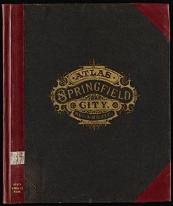
Atlas of Springfield city, Massachusetts
136.
Atlas of Westfield town, Massachusetts
137.
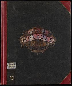
Atlas of Holyoke City, Massachusetts
138.
Atlas of Winchendon town, Massachusetts
139.
Atlas of Plymouth county, Massachusetts : compiled from recent and actual surveys and records under the direction of the...
140.
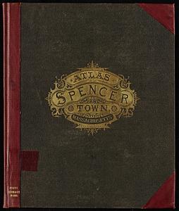
Atlas of Spencer town, Massachusetts
‹ Prev
Next ›
1
2
3
4
5
6
7
8
9
10
11
…
126
127