Toggle navigation
LMEC Home
Exhibitions
Georeferencing
Tools for Teachers
Collections
My Favorites
Sign Up / Log In
Search
Search the map portal
Map Collection
Map Collection
Map Sets
Search
Search
Search for
Search In
All Fields
Creator
Title
Subject
Place
Search All Digital Collections
Advanced Search
2888 Results
My Search
Start Over
atlas
Remove constraint atlas
Filter your Search
Place
North and Central America
1,673
United States
1,009
Europe
470
Massachusetts
359
Canada
271
South America
193
Asia
192
Suffolk (county)
165
more
Place
»
Topic
Landowners--Massachusetts--Boston--Maps
115
Real property--Massachusetts--Boston--Maps
106
United States--Maps
87
Boston (Mass.)--Maps
64
United States--History--French and Indian War, 1754-1763--Maps
63
Saint Lawrence River--Maps
41
Nautical charts--Early works to 1800
39
North America--Maps--Early works to 1800
36
more
Topic
»
Date
Date range begin
–
Date range end
Current results range from
1482
to
2023
View distribution
Creator
United States. Hydrographic Office
584
Des Barres, Joseph F. W. (Joseph Frederick Wallet), 1722-1824
118
Ptolemy, 2nd cent
100
Bromley, George Washington
99
Bromley, Walter Scott
97
G.W. Bromley & Co.
75
Carey, Mathew, 1760-1839
74
Paullin, Charles Oscar, 1868 or 1869-1944
70
more
Creator
»
Format
Maps/Atlases
2,872
Manuscripts
58
Books
37
Prints
8
Documents
5
Drawings/Illustrations
1
Georeferenced
Yes
142
No
2,746
Collection
Norman B. Leventhal Map & Education Center Collection
2,431
Maritime Charts and Atlases
1,169
American Revolutionary War-Era Maps
504
Boston and New England Maps
386
Urban Maps
271
Massachusetts Real Estate Atlases
144
William L. Clements Library Collection
92
Mapping Boston Collection
61
more
Collection
»
Available to use
No known restrictions
2,337
Creative Commons license
158
Search Constraints
Sort by relevance
relevance
title
date (asc)
date (desc)
Number of results to display per page
20 per page
10
per page
20
per page
50
per page
100
per page
View results as:
grid view
map view
Search Results
2581.
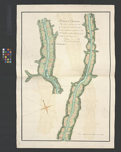
Parish of Chambly & Ste. Therese
2582.
Parish of Chateau Gay
2583.
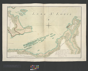
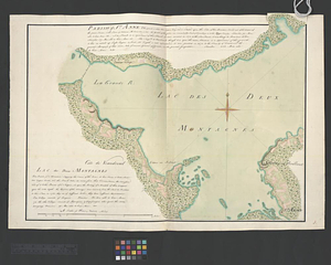
Parish of St. Anne. Lac des Deux Montagnes
2584.
Parish of St. Charles
2585.
Part of Wakefield [Massachusetts]
2586.
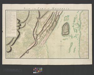
Plan of the town of Montreal
2587.
La Principauté d'Orange et comtat de Venaissin
2588.
Suthsexia : vernacule Sussex
2589.
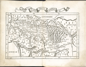
Tabu. provi. Rheni
2590.
Tabu. provi. Rheni [verso]
2591.
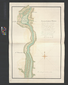
Town of Three Rivers
2592.
Virginiae partis australis et Floridae partis orientalis, interjacentium[que] regionum nova descriptio
2593.
Wiltonia sive comitatus Wiltoniensis : Anglis Wil Shire
2594.
Atlantic Neptune [front matter]
2595.
Chart from New York to Timber Island including Nantucket Shoals
2596.
Chart from New York to Timber Island including Nantucket shoals
2597.
Chart from New York to Timber Island including Nantucket shoals
2598.
A chart of Boston Bay and vicinity
2599.
Chart of Plymouth Bay
2600.
Chart of Plymouth Bay
‹ Prev
Next ›
1
2
…
126
127
128
129
130
131
132
133
134
…
144
145
![Part of Wakefield [Massachusetts]](https://bpldcassets.blob.core.windows.net/derivatives/images/commonwealth:c534g4366/image_thumbnail_300.jpg)


![Tabu. provi. Rheni [verso]](https://bpldcassets.blob.core.windows.net/derivatives/images/commonwealth:3f462s27r/image_thumbnail_300.jpg)

![Virginiae partis australis et Floridae partis orientalis, interjacentium[que] regionum nova descriptio](https://bpldcassets.blob.core.windows.net/derivatives/images/commonwealth:6t053p120/image_thumbnail_300.jpg)

![Atlantic Neptune [front matter]](https://bpldcassets.blob.core.windows.net/derivatives/images/commonwealth:3f462x58k/image_thumbnail_300.jpg)


