Toggle navigation
LMEC Home
Exhibitions
Georeferencing
Tools for Teachers
Collections
My Favorites
Sign Up / Log In
Search
Search the map portal
Map Collection
Map Collection
Map Sets
Search
Search
Search for
Search In
All Fields
Creator
Title
Subject
Place
Search All Digital Collections
Advanced Search
2843 Results
My Search
Start Over
atlas
Remove constraint atlas
Filter your Search
Place
North and Central America
1,647
United States
987
Europe
464
Massachusetts
348
Canada
271
Asia
190
South America
189
Suffolk (county)
163
more
Place
»
Topic
Landowners--Massachusetts--Boston--Maps
115
Real property--Massachusetts--Boston--Maps
106
United States--Maps
87
Boston (Mass.)--Maps
63
United States--History--French and Indian War, 1754-1763--Maps
63
Saint Lawrence River--Maps
41
Nautical charts--Early works to 1800
39
North America--Maps--Early works to 1800
36
more
Topic
»
Date
Date range begin
–
Date range end
Current results range from
1482
to
2023
View distribution
Creator
United States. Hydrographic Office
582
Des Barres, Joseph F. W. (Joseph Frederick Wallet), 1722-1824
118
Ptolemy, 2nd cent
100
Bromley, George Washington
99
Bromley, Walter Scott
97
G.W. Bromley & Co.
75
Carey, Mathew, 1760-1839
74
Paullin, Charles Oscar, 1868 or 1869-1944
70
more
Creator
»
Format
Maps/Atlases
2,827
Manuscripts
58
Books
37
Prints
8
Documents
5
Drawings/Illustrations
1
Georeferenced
Yes
142
No
2,701
Collection
Norman B. Leventhal Map & Education Center Collection
2,386
Maritime Charts and Atlases
1,150
American Revolutionary War-Era Maps
504
Boston and New England Maps
374
Urban Maps
250
Massachusetts Real Estate Atlases
144
William L. Clements Library Collection
92
Mapping Boston Collection
61
more
Collection
»
Available to use
No known restrictions
2,292
Creative Commons license
158
Search Constraints
Sort by relevance
relevance
title
date (asc)
date (desc)
Number of results to display per page
20 per page
10
per page
20
per page
50
per page
100
per page
View results as:
grid view
map view
Search Results
201.
New topographical atlas of the county of Hampden, Massachusetts
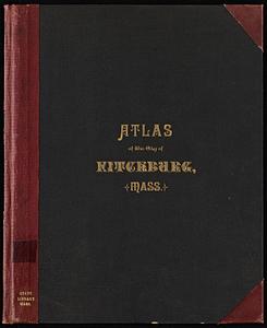
202.
Atlas of the city of Fitchburg, Worcester County, Massachusetts : from official records and surveys
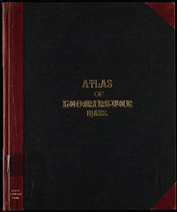
203.
Atlas of the town of Leominster, Worcester County, Massachusetts
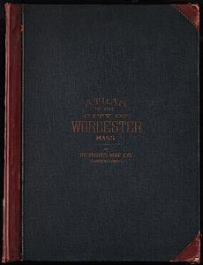
204.
Richards Standard Atlas of the city of Worcester, Massachusetts
205.
Atlas of the town of Melrose, Middlesex County, Massachusetts
206.
Richards standard atlas of the city of Holyoke, Massachusetts : containing ten double page maps in colors, covering the entire...
207.
Atlas of the city of Worcester, Worcester County, Massachusetts
208.
Atlas of the city of Quincy, Norfolk County, Massachusetts : compiled from the latest plans and original surveys
209.
Atlas of the city of Quincy, Norfolk County, Massachusetts
210.
Atlas of the town of Swampscott, Essex County, Mass. : from official plans and actual surveys
211.
Atlas of the town of Wellesley, Norfolk County, Mass. : from official plans and actual surveys
212.
Atlas of the town of Milton, Norfolk County, Massachusetts
213.
Atlas of the city of Pittsfield, Berkshire County, Massachusetts
214.
Richards standard atlas of the town of Greenfield, Massachusetts
215.
Atlas of the city of Boston : Dorchester : volume three : from actual surveys and official records
216.
Atlas of the city of Boston : Roxbury : volume two : from actual surveys and official records
217.
Atlas of the city of Boston : volume 7: Brighton : from actual surveys and official plans
218.
Atlas of the city of Boston : ward 25, Brighton : from actual surveys and official plans
219.
Atlas of the town of Brookline, Norfolk County, Massachusetts : from actual surveys and official plans
220.
City atlas of Boston, Massachusetts : complete in one volume : from official records, private plans and actual surveys
‹ Prev
Next ›
1
2
…
7
8
9
10
11
12
13
14
15
…
142
143