Search Constraints
Search Results


13246. Waltham, 1911

13247. Walworth County, Wis.
![Wamsutta Mills (Cotton Mill), New Bedford, Mass. [insurance map]](https://bpldcassets.blob.core.windows.net/derivatives/images/commonwealth:ww72bz961/image_thumbnail_300.jpg)
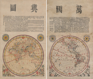
13249. Wanguo yutu
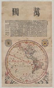
13250. Wanguo yutu


13255. War maps and diagrams


13257. War telegram marking map
![Ward 1 [of Boston]](https://bpldcassets.blob.core.windows.net/derivatives/images/commonwealth:jh343z28f/image_thumbnail_300.jpg)
13258. Ward 1 [of Boston]

