Search Constraints
Search Results


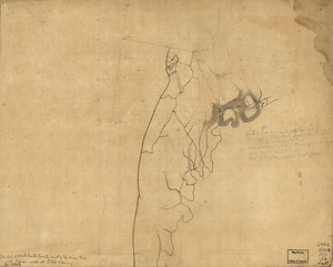
13206. West Newton, Massachusetts


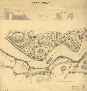
13208. West Point
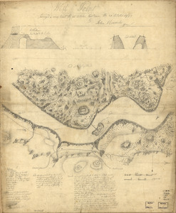
13209. West Point


13212. West Point and vicinity

13213. West Point, New York

13214. West Point; or Fort Defiance

13215. West Randolph, Vt : 1886