Toggle navigation
LMEC Home
Exhibitions
Georeferencing
Tools for Teachers
Collections
My Favorites
Sign Up / Log In
Search
Search the map portal
Map Collection
Map Collection
Map Sets
Search
Search
Search for
Search In
All Fields
Creator
Title
Subject
Place
Search All Digital Collections
Advanced Search
722 Results
My Search
Start Over
Subject
aerial views
Remove constraint Subject: aerial views
Filter your Search
Place
North and Central America
654
United States
624
Massachusetts
295
Suffolk (county)
65
Boston
63
New Hampshire
55
Connecticut
53
Middlesex (county)
53
more
Place
»
Topic
Boston (Mass.)--Aerial views
42
Franco-Prussian War, 1870-1871--Aerial views
7
Aerial views
6
France--History--1789-1900--Aerial views
6
Germany--History--1789-1900--Aerial views
6
United States--History--Revolution, 1775-1783--Maps
6
Boston (Mass.)--History--Revolution, 1775-1783--Aerial views--Early works to 1800
5
Boston (Mass.)--History--Siege, 1775-1776--Aerial views--Early works to 1800
5
more
Topic
»
Date
Date range begin
–
Date range end
Current results range from
1493
to
2020
View distribution
Creator
O.H. Bailey & Co
146
Norris, George E.
51
Burleigh, L. R., 1853-1923
47
Bailey, O. H. (Oakley Hoopes), 1843-1947
41
Poole, A. F.
22
Bailey, H. H. (Howard Heston), 1836-1878
20
Bachmann, John, fl. 1849-1885
8
Fowler, T. M. (Thaddeus Mortimer), 1842-1922
8
more
Creator
»
Format
Maps/Atlases
699
Prints
18
Manuscripts
12
Drawings/Illustrations
11
Georeferenced
Yes
5
No
717
Collection
Norman B. Leventhal Map & Education Center Collection
694
Urban Maps
575
Boston and New England Maps
449
American Revolutionary War-Era Maps
30
Richard H. Brown Revolutionary War Map Collection at Mount Vernon
11
Boston Redevelopment Authority Collection
8
William L. Clements Library Collection
7
Library of Congress Collection
4
more
Collection
»
Available to use
No known restrictions
691
Creative Commons license
20
Search Constraints
Sort by relevance
relevance
title
date (asc)
date (desc)
Number of results to display per page
20 per page
10
per page
20
per page
50
per page
100
per page
View results as:
grid view
map view
Search Results
621.
Canadian Rockies showing main line of Canadian Pacific Ry. with branch lines & steamship connections
622.
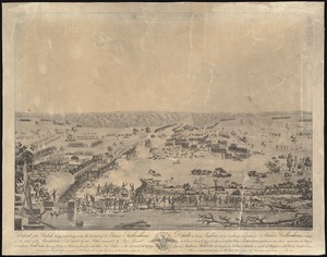
Defeat of the British army 12,000 strong under the command of Sir Edward Packenham in the attack of the American lines defended...
623.
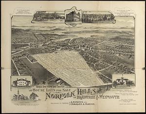
Bird's eye view and sketch of house lots for sale on Norfolk Hills in Braintree & Weymouth : belonging to Messrs A.H. Hews and...
624.
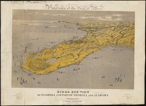
Birds eye view of Florida and part of Georgia and Alabama
625.
The country around Herat : projected from Major Holditch's map
626.
An anciente mappe of Fairyland : newly discovered and set forth
627.
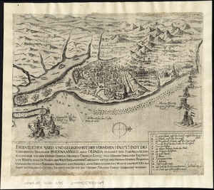
Eygentlicher abris und gelegenheit der vornemen hauptstadt des Königreichs Brasilien Phernambuco auch Olinda genandt inn...
628.
A Scott-Map of Boston, Massachusetts
629.
Whitinsville, Mass.
630.
Bird's eye view of the city of Holyoke, and village of South Hadley Falls, Mass. looking north
631.
Canobie Lake Park, Salem N.H.
632.
An aerial view of New York City showing how easily the weary traveler may reach the Herald Square Hotel wherein he will find...
633.
Appearance of Fort Sumter on Sunday afternoon, August 23d, 1863 : sketched from the "Beacon house" on Morris Island
634.
Bacon's bird's eye view of South Africa
635.
A birds eye view of the Suez Canal
636.
Birds eye view showing Portland R.R. Co. system and connecting lines
637.
Encampment of First Brigade, Maine Volunteer Militia, Augusta, Aug.25, 26, 27, 28, 1885
638.
Guide of the New York State Reservation at Niagara
639.
Haverhill, Massachusetts
640.
Lands End, Rockport, Mass
‹ Prev
Next ›
1
2
…
28
29
30
31
32
33
34
35
36
37