Toggle navigation
LMEC Home
Exhibitions
Georeferencing
Tools for Teachers
Collections
My Favorites
Sign Up / Log In
Search
Search the map portal
Map Collection
Map Collection
Map Sets
Search
Search
Search for
Search In
All Fields
Creator
Title
Subject
Place
Search All Digital Collections
Advanced Search
722 Results
My Search
Start Over
Subject
aerial views
Remove constraint Subject: aerial views
Filter your Search
Place
North and Central America
654
United States
624
Massachusetts
295
Suffolk (county)
65
Boston
63
New Hampshire
55
Connecticut
53
Middlesex (county)
53
more
Place
»
Topic
Boston (Mass.)--Aerial views
42
Franco-Prussian War, 1870-1871--Aerial views
7
Aerial views
6
France--History--1789-1900--Aerial views
6
Germany--History--1789-1900--Aerial views
6
United States--History--Revolution, 1775-1783--Maps
6
Boston (Mass.)--History--Revolution, 1775-1783--Aerial views--Early works to 1800
5
Boston (Mass.)--History--Siege, 1775-1776--Aerial views--Early works to 1800
5
more
Topic
»
Date
Date range begin
–
Date range end
Current results range from
1493
to
2020
View distribution
Creator
O.H. Bailey & Co
146
Norris, George E.
51
Burleigh, L. R., 1853-1923
47
Bailey, O. H. (Oakley Hoopes), 1843-1947
41
Poole, A. F.
22
Bailey, H. H. (Howard Heston), 1836-1878
20
Bachmann, John, fl. 1849-1885
8
Fowler, T. M. (Thaddeus Mortimer), 1842-1922
8
more
Creator
»
Format
Maps/Atlases
699
Prints
18
Manuscripts
12
Drawings/Illustrations
11
Georeferenced
Yes
5
No
717
Collection
Norman B. Leventhal Map & Education Center Collection
694
Urban Maps
575
Boston and New England Maps
449
American Revolutionary War-Era Maps
30
Richard H. Brown Revolutionary War Map Collection at Mount Vernon
11
Boston Redevelopment Authority Collection
8
William L. Clements Library Collection
7
Library of Congress Collection
4
more
Collection
»
Available to use
No known restrictions
691
Creative Commons license
20
Search Constraints
Sort by relevance
relevance
title
date (asc)
date (desc)
Number of results to display per page
20 per page
10
per page
20
per page
50
per page
100
per page
View results as:
grid view
map view
Search Results
301.
Pawtuxet, Rhode Island : 1890
302.
Penacook, N.H
303.
Pictorial map of the city of Paris and its environs, showing the principal buildings, monuments, parks etc., the French...
304.
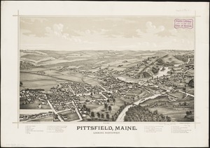
Pittsfield, Maine : looking northwest
305.
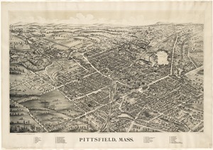
Pittsfield, Mass
306.
Pittsfield, Merrimackcounty [sic], N.H : 1884
307.
Pittsfield, Merrimackcounty [sic], N.H : 1884
308.
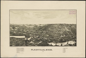
Plainville, Mass : 1887
309.
Plymouth, Grafton County, N.H : 1883
310.
Plymouth, Mass : 1882
311.
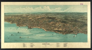
Plymouth, Mass
312.
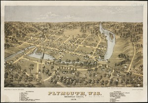
Plymouth, Wis : Sheboygan County, 1870
313.
The Point of Pines, Revere, Mass : on the Atlantic Ocean, eight miles north east of Boston : the most beautiful sea shore...
314.
Portland, Penn
315.
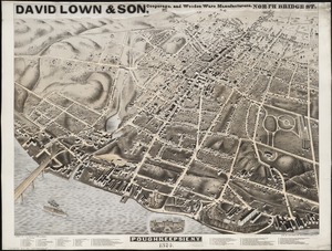
Poughkeepsie, N.Y : 1874
316.
Poultney, Vt
317.
Providence, R.I
318.
Provincetown, Mass
319.
Quakertown : Pennsylvania
320.
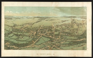
Quincy, Mass
‹ Prev
Next ›
1
2
…
12
13
14
15
16
17
18
19
20
…
36
37


![Pittsfield, Merrimackcounty [sic], N.H](https://bpldcassets.blob.core.windows.net/derivatives/images/commonwealth:3f463513v/image_thumbnail_300.jpg)
![Pittsfield, Merrimackcounty [sic], N.H](https://bpldcassets.blob.core.windows.net/derivatives/images/commonwealth:x633fd276/image_thumbnail_300.jpg)