Toggle navigation
LMEC Home
Exhibitions
Georeferencing
Tools for Teachers
Collections
My Favorites
Sign Up / Log In
Search
Search the map portal
Map Collection
Map Collection
Map Sets
Search
Search
Search for
Search In
All Fields
Creator
Title
Subject
Place
Search All Digital Collections
Advanced Search
10836 Results
My Search
Start Over
All Fields
americas
Remove constraint All Fields: americas
Filter your Search
Place
North and Central America
10,232
United States
8,361
Massachusetts
2,778
Suffolk (county)
1,673
Boston
1,629
Canada
936
New York
640
Middlesex (county)
438
more
Place
»
Topic
Boston (Mass.)--Maps
745
City planning--Massachusetts--Boston--Maps
418
United States--History--Revolution, 1775-1783--Maps
327
United States--Maps
319
Real property--Massachusetts--Boston--Maps
254
Urban renewal--Massachusetts--Boston--Maps
254
Massachusetts--Maps
230
Insurance surveys
194
more
Topic
»
Date
Date range begin
–
Date range end
Current results range from
1507
to
2023
View distribution
Creator
Boston Redevelopment Authority
404
United States. Hydrographic Office
365
Des Barres, Joseph F. W. (Joseph Frederick Wallet), 1722-1824
197
Jefferys, Thomas, -1771
150
George, III, King of Great Britain, 1738-1820
146
O.H. Bailey & Co
146
George, IV, King of Great Britain, 1762-1830
145
Royal United Services Institute for Defence and Security Studies
139
more
Creator
»
Format
Maps/Atlases
10,713
Manuscripts
916
Prints
60
Books
43
Drawings/Illustrations
43
Photographs
15
Objects/Artifacts
7
Posters
3
more
Format
»
Georeferenced
Yes
823
No
10,013
Collection
Norman B. Leventhal Map & Education Center Collection
6,600
American Revolutionary War-Era Maps
3,123
Boston and New England Maps
2,897
Urban Maps
2,277
William L. Clements Library Collection
892
Maritime Charts and Atlases
814
Library of Congress Collection
552
Boston Redevelopment Authority Collection
475
more
Collection
»
Available to use
No known restrictions
7,653
Creative Commons license
1,540
Search Constraints
Sort by relevance
relevance
title
date (asc)
date (desc)
Number of results to display per page
20 per page
10
per page
20
per page
50
per page
100
per page
View results as:
grid view
map view
Search Results
1801.
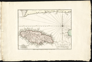
Carte de l'isle de la Jamaique
1802.
Connecticut from the best authorities
1803.
New Hampshire, Vermont, &c
1804.
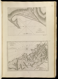
Plan of Bahía Honda ; Plan of Puerto de Cavañas
1805.
Plan of the harbour of San Fernando de Omoa ; A map of the Isthmus of Panama, drawn from Spanish surveys
1806.
The grand bay of Nipe on the north side of Cuba from Spanish draughts ; Plan of Puerto de Baracoa
1807.
Plan of Guantanimo, called by the English Cumberland Harbor ; Plan of the city and harbour of St. Jago de Cuba
1808.
Plan of the town and harbour of San Juan de Puerto Rico ; Plan of the Aguada Nueva de Puerto Rico
1809.
Plan of Bahia Xagua on the south side of Cuba ; Plan of the Colorado Rocks, near the west end of Cuba
1810.
Terra firma et novum regnum Granatense et Popayan
1811.
Fault map of the state of California
1812.
Connecticut
1813.
Massachusetts
1814.
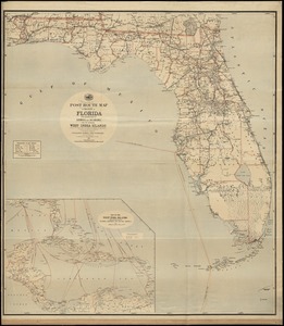
Post route map of the State of Florida with adjacent parts of Georgia and Alabama also the neighboring West India Islands...
1815.
State of Maine
1816.
New Hampshire
1817.
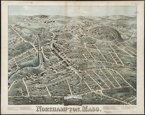
Northampton, Mass : 1875
1818.
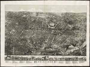
Providence, R.I
1819.
Eight views of the world
1820.
A new map of Nova Scotia, and Cape Britain : with the adjacent parts of New England and Canada, composed from a great number of...
‹ Prev
Next ›
1
2
…
87
88
89
90
91
92
93
94
95
…
541
542