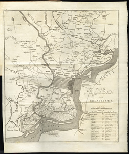
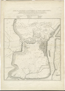
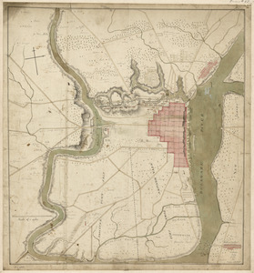
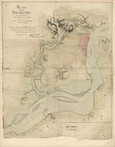
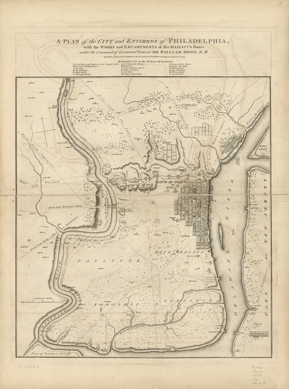
A plan of the city and environs of Philadelphia : with the works and encampments of His Majesty's forces under the command of Lieutenant General Sir William Howe, K.B
This map is also available in American Revolutionary Geographies Online (ARGO), a collections portal especially built for material relating to the American Revolutionary War Era. Visit ARGO to learn more about this item and explore the historical geography of North America in the late eighteenth century.
Item Information
- Title:
- A plan of the city and environs of Philadelphia : with the works and encampments of His Majesty's forces under the command of Lieutenant General Sir William Howe, K.B
- Creator:
- Faden, William, 1749-1836
- Name on Item:
-
engraved and published by Wm. Faden
- Date:
-
1779
- Format:
-
Maps/Atlases
- Location:
- Library of Congress Geography and Map Division
- Collection (local):
-
Library of Congress Collection
- Subjects:
-
Philadelphia (Pa.)--History--Revolution, 1775-1783--Maps--Early works to 1800
Fortification--Pennsylvania--Philadelphia--Maps--Early works to 1800
- Places:
-
Philadelphia (county)Philadelphia
- Extent:
- 1 map : hand color 52 x 48 cm.
- Terms of Use:
-
No known copyright restrictions.
This work is licensed for use under a Creative Commons Attribution Non-Commercial Share Alike License (CC BY-NC-SA).

- Place of origin:
-
London
- Scale:
-
Scale ca. 1:21,000
- Language:
-
English
- Catalog Record:
-
https://lccn.loc.gov/74692213
- Notes:
-
Shows names of rural landholders.
Indexed for public buildings.
- Notes (citation):
-
LC Maps of North America, 1750-1789, 1327
- Identifier:
-
ar132700