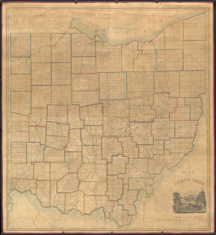
A map of the state of Ohio : from actual survey
Item Information
- Title:
- A map of the state of Ohio : from actual survey
- Description:
-
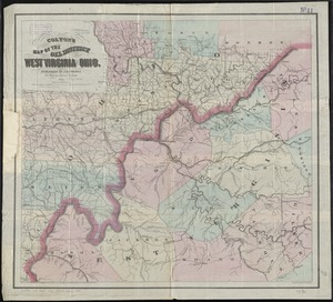
America Transformed: Ohio, the 17th state, was the first carved out of the Northwest Territory. Survey grid patterns based on 5- and 6-mile square townships were first implemented here, in addition to traditional irregular metes and bounds surveys in the Virginia Military District. To administer surveying and sales, over a dozen private land companies, military land districts, and congressionally-authorized districts were created. By 1832 when this large wall map was updated, surveying had been completed. County boundaries and township perimeters are marked. The cartouche promotes agriculture and river transportation with a scene of a farm overlooking the Ohio River.
- Publisher:
- N. & G. Guilford (Firm)
- Engraver:
- Woodruff, William, active 1817-1833
- Name on Item:
-
corrected, revised and published by N. & G. Guilford
- Date:
-
1831
- Format:
-
Maps/Atlases
- Location:
- Private Collection
- Collection (local):
-
Private Collection
- Subjects:
-
Ohio--Maps
- Places:
-
Ohio
- Extent:
- 1 map : hand color ; 122 x 111 cm, on sheet 130 x 120 cm
- Terms of Use:
-
No known copyright restrictions.
No known restrictions on use.
- Publisher:
-
Cincinnati :
corrected, revised and published by N. & G. Guilford
- Scale:
-
Scale approximately 1:320,000
- Language:
-
English
- Notes:
-
Includes Profile of the Ohio and Lake Erie Canal, Profile of the Miami Canal, and vignette depicting farming and a steamboat on the river.
Includes references.
"Originally published by Hough & Bourne."
"Entered according to Act of Congress, June 25th 1831 by N. & G. Guilford in the Clerks Office of the District Court of Ohio.
- Notes (exhibitions):
-
Exhibited: "America transformed. Part 1: the United States expands westward," organized by the Norman B. Leventhal Map & Education Center at the Boston Public Library, 2019.
- Identifier:
-
06_01_016726
 IIIF Manifest