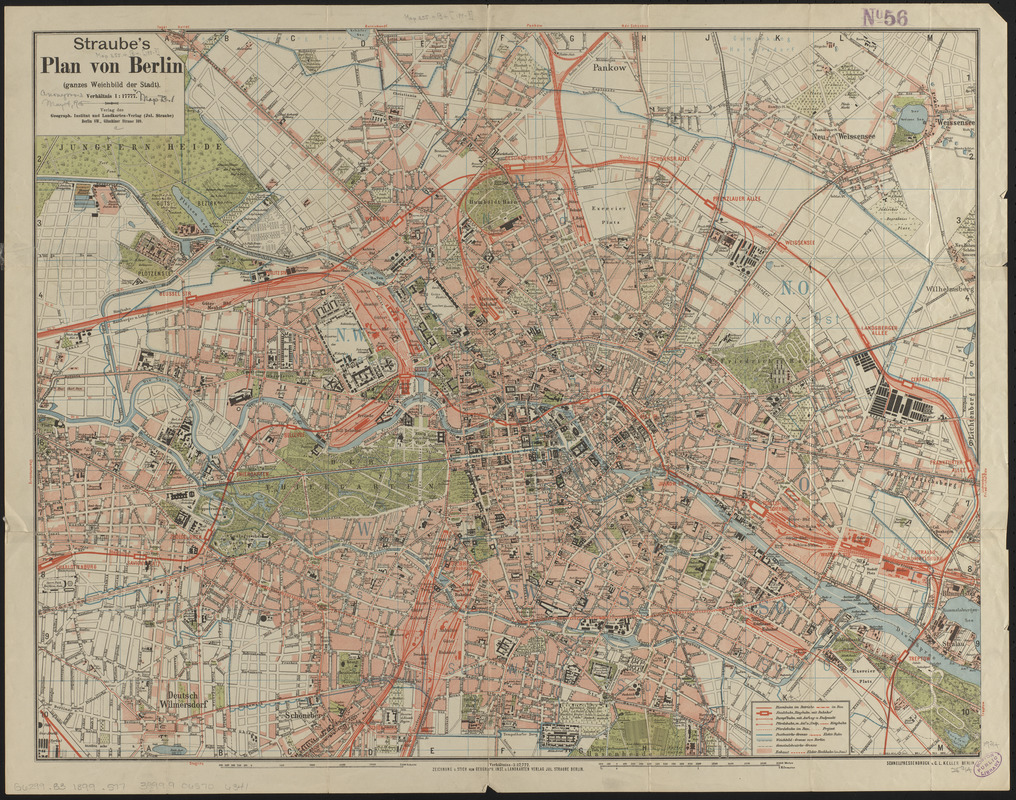
Straube's plan von Berlin (ganzes weichbild der stadt)
Item Information
- Title:
- Straube's plan von Berlin (ganzes weichbild der stadt)
- Publisher:
- Geographisches Institut und Landkarten-Verlag Jul. Straube
- Printer:
- Keller, C. L.
- Name on Item:
-
zeichnung u. stich vom Geograph. Inst. u. Landkarten
- Date:
-
[1899]
- Format:
-
Maps/Atlases
- Location:
-
Boston Public Library
Norman B. Leventhal Map & Education Center - Collection (local):
-
Norman B. Leventhal Map & Education Center Collection
- Subjects:
-
Berlin (Germany)--Maps
- Places:
-
GermanyBerlinBerlin (Berlin state)
- Extent:
- 1 map : color ; 51 x 66 cm
- Terms of Use:
-
No known copyright restrictions.
No known restrictions on use.
- Publisher:
-
Berlin :
Verlag des Geograph. Institut und Landkarten-Verlag (Jul. Straube)
- Scale:
-
Scale approximately 1:17,600
- Language:
-
German
- Notes:
-
In lower right: 79.5 -- 6912.
Printed in reverse in lower right: I.98 -- V.98 -- X.98..II.99.V.99.
- Notes (date):
-
This date is inferred.
- Identifier:
-
06_01_014842
- Call #:
-
G6299.B3 1899 .S77
- Barcode:
-
39999065706341