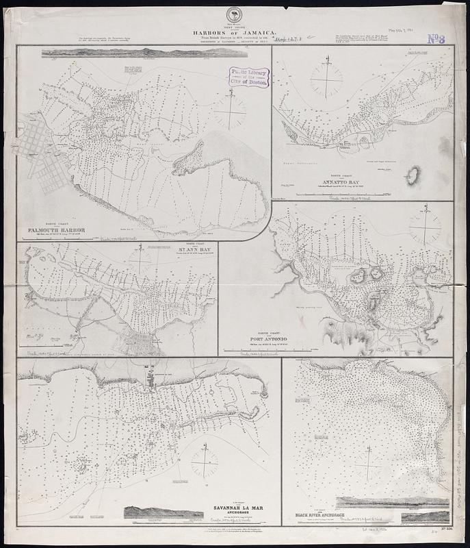
West Indies, harbors of Jamaica : from British surveys to 1879, corrected to 1881
Item Information
- Title:
- West Indies, harbors of Jamaica : from British surveys to 1879, corrected to 1881
- Issuing body:
- United States. Hydrographic Office
- Date:
-
1881
- Format:
-
Maps/Atlases
- Genre:
-
Nautical charts
- Location:
-
Boston Public Library
Norman B. Leventhal Map & Education Center - Collection (local):
-
Norman B. Leventhal Map & Education Center Collection
- Subjects:
-
Falmouth Harbour (Jamaica)--Maps
Annotto Bay (Jamaica)--Maps
Saint Ann's Bay (Jamaica)--Maps
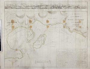
Port Antonio (Jamaica)--Maps
Savanna-la-Mar (Jamaica)--Maps
Black River Bay (Jamaica)--Maps
Coasts--Jamaica--Maps
Navigation--Jamaica--Falmouth Harbour
Navigation--Jamaica--Annotto Bay
Navigation--Jamaica--Saint Ann's Bay
Navigation--Jamaica--Black River Bay
- Places:
-
JamaicaCornwall (county)Falmouth
JamaicaMiddlesex (county)Annotto Bay
JamaicaMiddlesex (county)Saint Ann's Bay
JamaicaPortland (county)Port Antonio
JamaicaCornwall (county)Savanna-la-Mar
JamaicaCornwall (county)Black River Bay
- Extent:
- 6 maps on 1 sheet ; 68 x 62 cm
- Terms of Use:
-
No known copyright restrictions.
No known restrictions on use.
- Publisher:
-
Washington, D.C. :
Hydrographic Office
- Scale:
-
Scales differ
- Language:
-
English
- Table of Contents:
-
North coast, Falmouth Harbor
North coast, Annatto Bay
North coast, St. Ann Bay
North coast, Port Antonio
S.w. coast, Savannah la Mar Anchorage
S.w. coast Black River Anchorage.
- Notes:
-
Relief shown by hachures and spot heights. Depths shown by soundings and isolines.
Includes 4 coastal views.
- Identifier:
-
06_01_017116
- Call #:
-
G9096.P5 svar .U55 no.350
- Barcode:
-
39999085954418