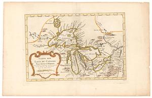
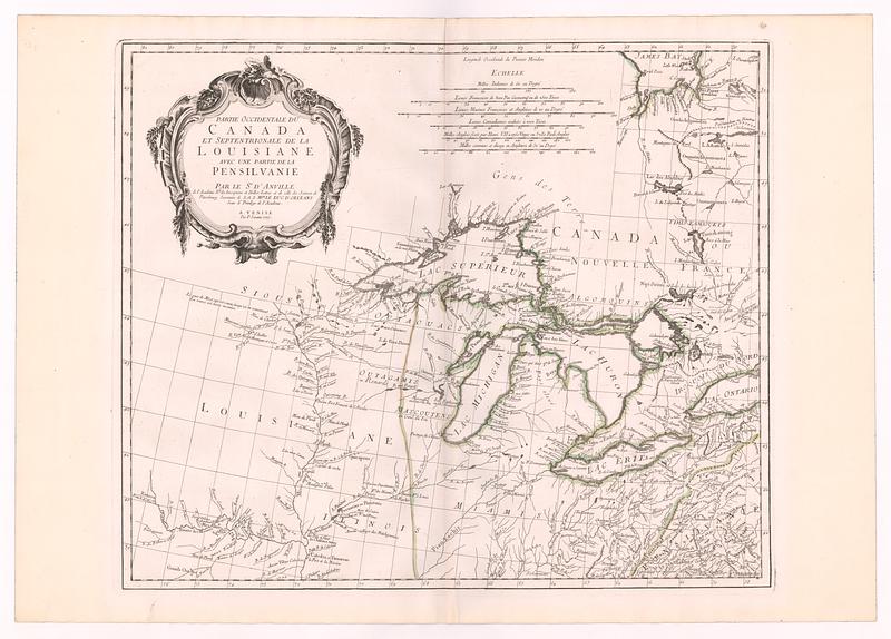
Partie occidentale du Canada et septentrionale de la Louisiane avec une partie de la Pensilvanie
This map is also available in American Revolutionary Geographies Online (ARGO), a collections portal especially built for material relating to the American Revolutionary War Era. Visit ARGO to learn more about this item and explore the historical geography of North America in the late eighteenth century.
Item Information
- Title:
- Partie occidentale du Canada et septentrionale de la Louisiane avec une partie de la Pensilvanie
- Cartographer:
- Anville, Jean Baptiste Bourguignon d', 1697-1782
- Publisher:
- Santini, Francesco
- Contributor:
- Académie royale des sciences (France)
- Name on Item:
-
par le Sr. D' Anville de l'Academie Rle des Inscriptions et Belles-Lettres et de celle des Sciences de Petersbourg, secretaire de S. A. S. Mgr le Duc d Orleans sous le privilege de l' academie
- Date:
-
1775
- Format:
-
Maps/Atlases
- Location:
- MacLean Collection Map Library
- Collection (local):
-
MacLean Collection Map Library
- Subjects:
-
Great Lakes Region (North America)--Maps--Early works to 1800
Canada--Maps--Early works to 1800
United States--Maps--Early works to 1800
- Places:
-
Great Lakes Region (area)
Canada
United States
- Extent:
- 1 map ; 496 x 585 mm
- Terms of Use:
-
Public Domain/No known restrictions on use. Contact host institution to download image.
Contact host institution for more information.
- Publisher:
-
Venice :
P. Santini
- Language:
-
French
- Identifier:
-
MC_2443
- Call #:
-
2443