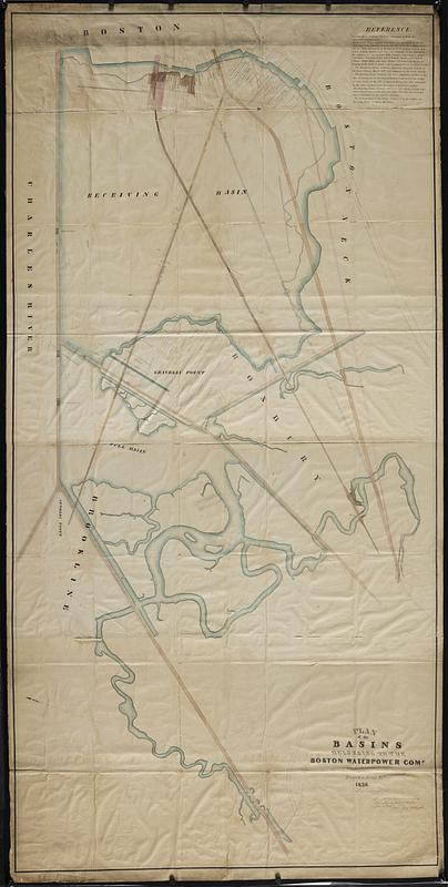
Plan of the basins belonging to the Boston Water-Power Comp
Item Information
- Title:
- Plan of the basins belonging to the Boston Water-Power Comp
- Cartographer:
- Fuller, Stephen P.
- Lithographer:
- T. Moore's Lithography
- Name on Item:
-
surveyed & drawn by S.P. Fuller, surveyor & engineer
- Date:
-
1836
- Format:
-
Maps/Atlases
- Location:
-
Boston Public Library
Norman B. Leventhal Map & Education Center - Collection (local):
-
Norman B. Leventhal Map & Education Center Collection
- Subjects:
-
Boston (Mass.)--Maps
Real property--Massachusetts--Boston--Maps
Landowners--Massachusetts--Boston--Maps
Boston Water Power Company
- Places:
-
MassachusettsSuffolk (county)Boston
- Extent:
- 1 map : hand color ; 93 x 191 cm
- Terms of Use:
-
No known copyright restrictions.
No known restrictions on use.
- Publisher:
-
Boston :
T. Moore's Lithy. (successor to Pendleton)
- Scale:
-
Scale approximately 1:2,400
- Language:
-
English
- Notes:
-
Oriented with north to the upper left.
Includes text.
"Surveyed in 1822 with additional surveys to this date."
- Identifier:
-
06_01_018774
- Call #:
-
G3764.B6G46 1836 .F85
- Barcode:
-
39999085969796


