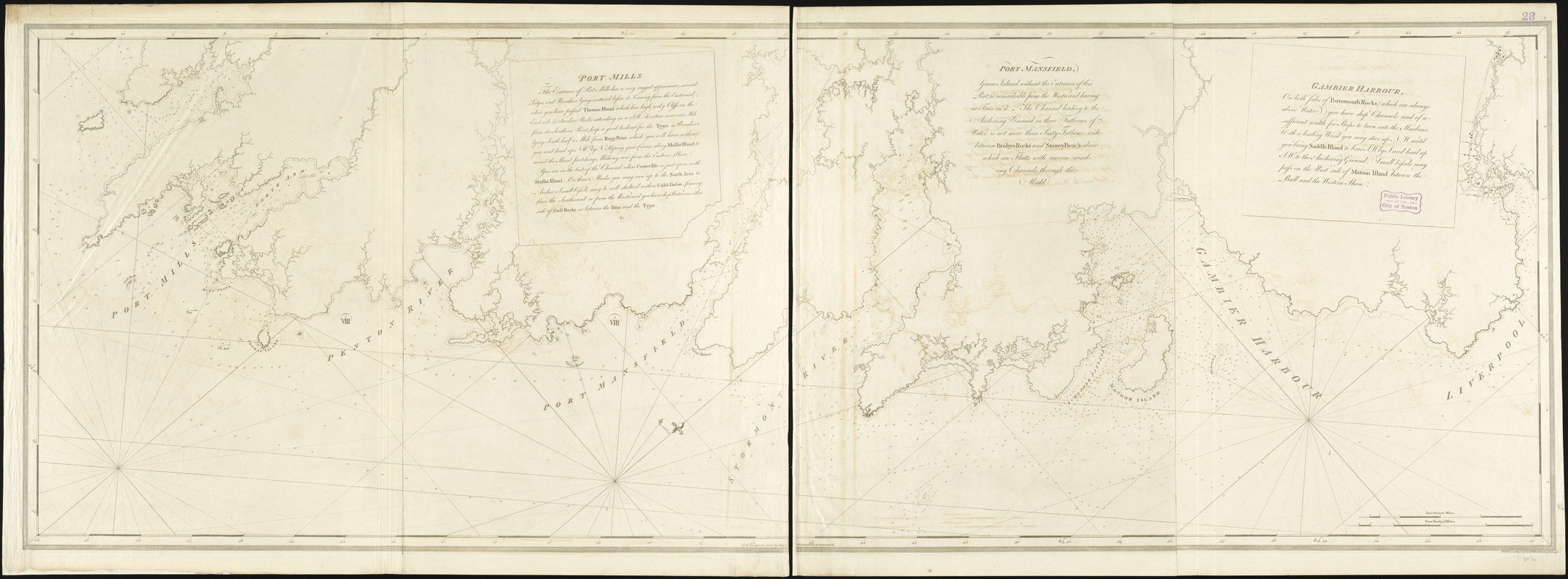
Port Mills : Port Mansfield ; Gambier Harbour
This map is also available in American Revolutionary Geographies Online (ARGO), a collections portal especially built for material relating to the American Revolutionary War Era. Visit ARGO to learn more about this item and explore the historical geography of North America in the late eighteenth century.
Item Information
- Title:
- Port Mills : Port Mansfield ; Gambier Harbour
- Title (alt.):
-
Port Mansfield
Gambier Harbour
- Creator:
- Des Barres, Joseph F. W. (Joseph Frederick Wallet), 1722-1824
- Date:
-
1776
- Format:
-
Maps/Atlases
- Location:
-
Boston Public Library
Norman B. Leventhal Map & Education Center - Collection (local):
-
Norman B. Leventhal Map & Education Center Collection
- Subjects:
-
Nautical charts--Nova Scotia--Early works to 1800
Nova Scotia--Maps--Early works to 1800
- Places:
-
CanadaNova Scotia (province)
- Extent:
- 1 chart on 2 sheets ; 68 x 204 cm., sheets 68 x 102 cm.
- Terms of Use:
-
No known copyright restrictions.
No known restrictions on use.
- Publisher:
-
[London] :
I.F.W. Desbarres
- Edition:
- 1st state.
- Scale:
-
Scale [ca. 1:29,000]
- Language:
-
English
- Notes:
-
Chart of the southeast coast of Nova Scotia from Liverpool Bay to Green Harbor.
Depth shown by soundings.
Oriented with north toward the upper right.
Appears in the author's Atlantic Neptune. London : J.F.W. Des Barres, 1777-[1781].
- Identifier:
-
06_01_008221
- Call #:
-
G1106.P5 D47 1777
- Barcode:
-
30000003793892


