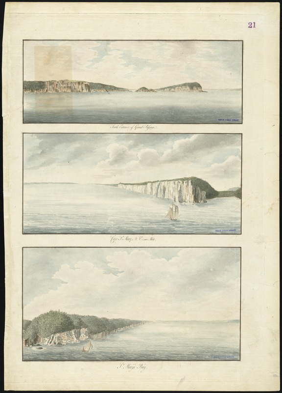
South entrance of Grand Passage : Cape St. Mary, N:E: one mile ; St. Mary's Bay
This map is also available in American Revolutionary Geographies Online (ARGO), a collections portal especially built for material relating to the American Revolutionary War Era. Visit ARGO to learn more about this item and explore the historical geography of North America in the late eighteenth century.
Item Information
- Title:
- South entrance of Grand Passage : Cape St. Mary, N:E: one mile ; St. Mary's Bay
- Title (alt.):
-
Cape St. Mary
St. Mary's Bay
- Creator:
- Des Barres, Joseph F. W. (Joseph Frederick Wallet), 1722-1824
- Date:
-
[1770–1779]
- Format:
-
Maps/Atlases
- Location:
-
Boston Public Library
Norman B. Leventhal Map & Education Center - Collection (local):
-
Norman B. Leventhal Map & Education Center Collection
- Subjects:
-
Coasts--Nova Scotia--Pictorial works--Early works to 1800
Saint Mary Bay (N.S.)--Pictorial works--Early works to 1800
- Places:
-
CanadaNova Scotia (province)Saint Marys Bay
- Extent:
- 3 views on 1 sheet : col. ; sheet 79 x 56 cm.
- Terms of Use:
-
No known copyright restrictions.
No known restrictions on use.
- Publisher:
-
London :
J.F.W. Des Barres
- Scale:
-
Not drawn to scale.
- Language:
-
English
- Notes:
-
Three views of the coast from the Grand Passage in Nova Scotia.
Appears in the author's Atlantic Neptune. London : J.F.W. Des Barres, 1777-[1781].
- Notes (date):
-
This date is inferred.
- Identifier:
-
06_01_008163
- Call #:
-
G1106.P5 D47 1777
- Barcode:
-
30000003793028


