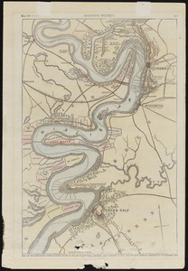
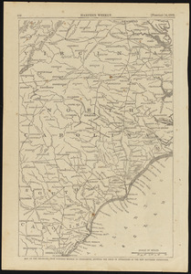
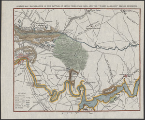
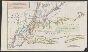
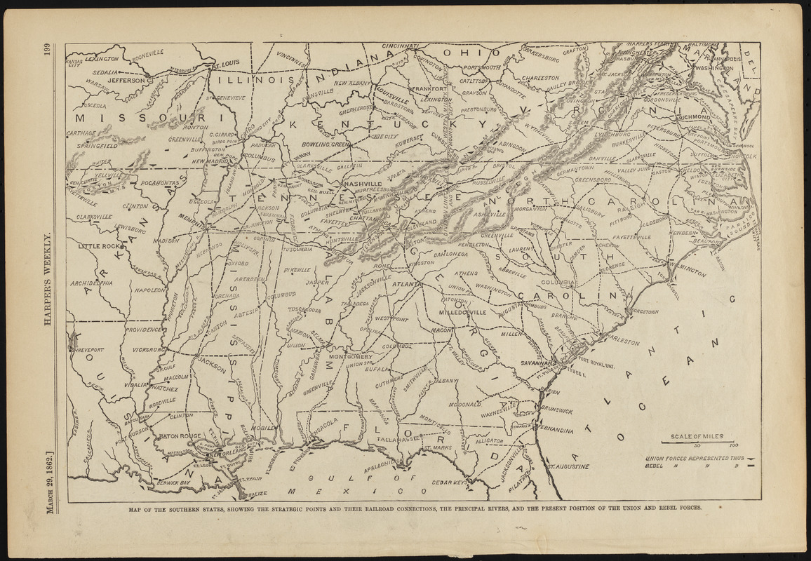
Map of the southern states, showing the strateic poits and their railroad connections, the principal rivers, and the present position of the union and rebel forces
Item Information
- Title:
- Map of the southern states, showing the strateic poits and their railroad connections, the principal rivers, and the present position of the union and rebel forces
- Date:
-
1862
- Format:
-
Maps/Atlases
- Location:
-
Phillips Academy
Archives and Special Collections - Collection (local):
-
Ralph Finos Map Collection
- Subjects:
-
Campaigns & battles
Civil wars
United States--History--Civil War, 1861-1865
- Places:
-
Southern United States (area)
- Extent:
- 1 map ; 24 x 36 cm
- Terms of Use:
-
We believe that this item has no known US copyright restrictions. Though not required, if you want to credit us as the source, please use the following statement, "From The Trustees of Phillips Academy." Doing so helps us track how our collection is used and helps justify freely releasing even more content in the future.
This work is in the public domain under a Creative Commons No Rights Reserved License (CC0).
- Publisher:
-
[New York] :
Harper's Weekly
- Scale:
-
Scale ca. 1:4,407,652
- Language:
-
English
- Notes:
-
Title from item.
From Harper's Weekly, March 29, 1862.
- Notes (date):
-
Date from item.
- Identifier:
-
2018_101