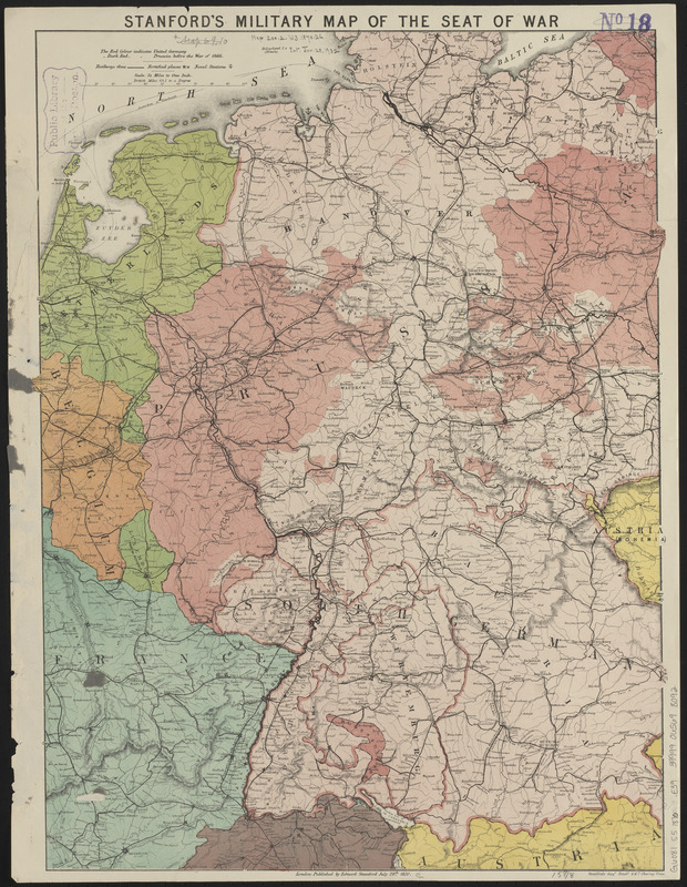
Stanford's military map of the seat of war
Item Information
- Title:
- Stanford's military map of the seat of war
- Title (alt.):
-
Stanford's military map of the Franco-Prussian frontier indicating the extent of Prussia before the war of 1866 and her acquisitions since that war : showing also all the states of south Germany with the railways & fortified places
- Publisher:
- Edward Stanford Ltd.
- Date:
-
1870
- Format:
-
Maps/Atlases
- Location:
-
Boston Public Library
Norman B. Leventhal Map & Education Center - Collection (local):
-
Norman B. Leventhal Map & Education Center Collection
- Subjects:
-
Austro-Prussian War, 1866--Maps
Germany--Boundaries--Maps
Europe, Central--Maps
- Places:
-
Germany
Central Europe (area)
- Extent:
- 1 map : color, 55 x 42 cm, folded to 22 x 15 cm
- Terms of Use:
-
No known copyright restrictions.
No known restrictions on use.
- Publisher:
-
London :
Edward Stanford
- Scale:
-
Scale 1:1,520,640
- Language:
-
English
- Notes:
-
Relief shown by hachures.
- Identifier:
-
06_01_014031
- Call #:
-
G6081.S5 1870 .E39
- Barcode:
-
39999065698092


