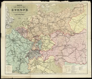
Carte de l'Europe Centrale pour suivre les opérations militaires
Item Information
- Title:
- Carte de l'Europe Centrale pour suivre les opérations militaires
- Publisher:
- Hachette (Firm)
- Date:
-
[1870]
- Format:
-
Maps/Atlases
- Location:
-
Boston Public Library
Norman B. Leventhal Map & Education Center - Collection (local):
-
Norman B. Leventhal Map & Education Center Collection
- Subjects:
-
Franco-Prussian War, 1870-1871--Maps
Europe, Central--Maps
- Places:
-
Central Europe (area)
- Extent:
- 1 map : color ; 54 x 65 cm
- Terms of Use:
-
No known copyright restrictions.
No known restrictions on use.
- Publisher:
-
Paris :
Librarie Hachette & Cie.
- Scale:
-
Scale approximately 1:2,336,000
- Language:
-
French
- Notes (date):
-
This date is inferred.
- Identifier:
-
06_01_014025
- Call #:
-
G6030 1870 .H33
- Barcode:
-
39999065698191