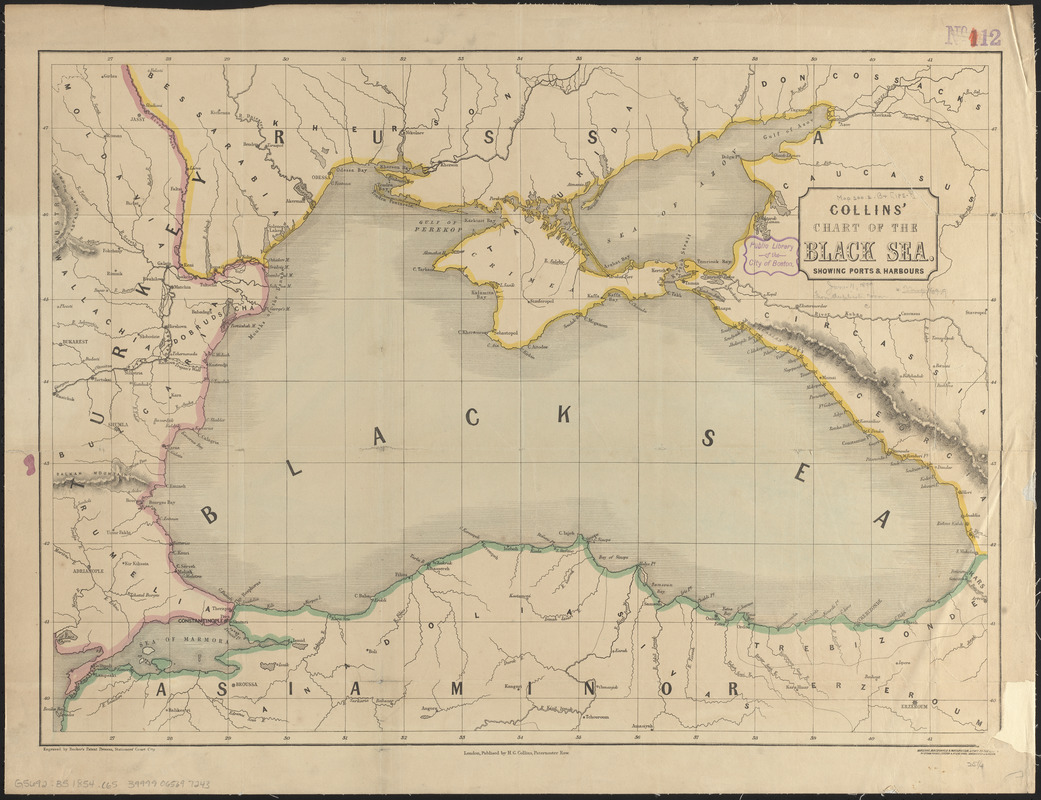
Collins' chart of the Black Sea showing ports & harbours
Item Information
- Title:
- Collins' chart of the Black Sea showing ports & harbours
- Title (alt.):
-
Chart of the Black Sea
- Publisher:
- Collins, Henry George
- Date:
-
[ca. 1854]
- Format:
-
Maps/Atlases
- Location:
-
Boston Public Library
Norman B. Leventhal Map & Education Center - Collection (local):
-
Norman B. Leventhal Map & Education Center Collection
- Subjects:
-
Black Sea--Maps
- Places:
-
Black Sea
- Extent:
- 1 map : color ; 46 x 65 cm
- Terms of Use:
-
No known copyright restrictions.
No known restrictions on use.
- Publisher:
-
London :
H.G. Collins
- Scale:
-
Scale approximately 1:2,000,000
- Language:
-
English
- Notes:
-
Relief shown by hachures.
"Engraved by Becker's Patent Process, Stationers' Court, City."
"Maclure, Macdonald & Macgregor lithrs. to the queen."
- Identifier:
-
06_01_012622
- Call #:
-
G5692.B5 1854 .C65
- Barcode:
-
39999065697243