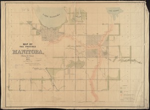
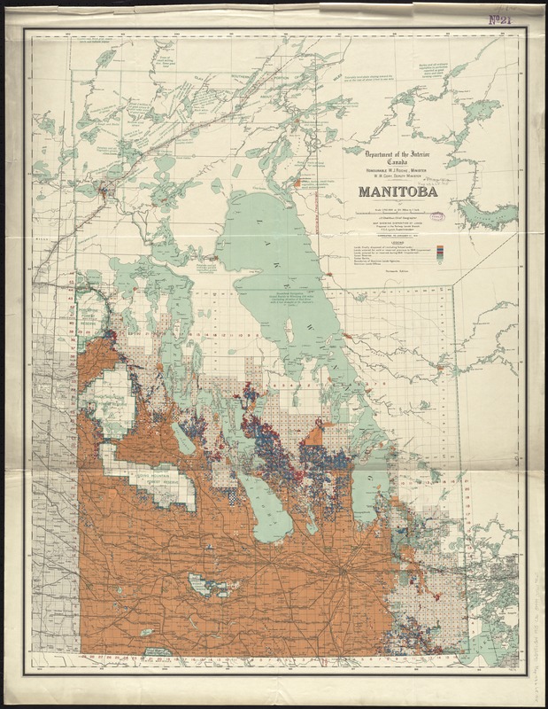
Manitoba : map showing disposition of lands
Item Information
- Title:
- Manitoba : map showing disposition of lands
- Title (alt.):
-
Map showing disposition of lands
- Creator:
- Canada. Department of the Interior
- Name on Item:
-
prepared in the Railway Lands Branch, F.C.C. Lynch, Chief Superintendent.
- Date:
-
1915
- Format:
-
Maps/Atlases
- Location:
-
Boston Public Library
Norman B. Leventhal Map & Education Center - Collection (local):
-
Norman B. Leventhal Map & Education Center Collection
- Subjects:
-
Real property--Manitoba--Maps
Public lands--Manitoba--Maps
Land grants--Manitoba--Maps
Land use--Manitoba--Maps
Manitoba--Maps
- Places:
-
CanadaProvince of Manitoba (province)
- Extent:
- 1 map : col. ; 93 x 72 cm.
- Terms of Use:
-
No known copyright restrictions.
No known restrictions on use.
- Publisher:
-
[Ottawa] :
Department of the Interior
- Edition:
- 13th ed.
- Scale:
-
Scale 1:1,792,000 or 12 1/2 miles to 1 inch
- Language:
-
English
- Notes:
-
Corrected to January 1st, 1915.
- Identifier:
-
06_01_011653
- Call #:
-
G3481.G4 1915 .C36
- Barcode:
-
39999065687525