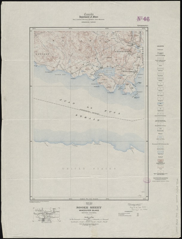
Sooke sheet, Vancouver Island, British Columbia
Item Information
- Title:
- Sooke sheet, Vancouver Island, British Columbia
- Creator:
- Geological Survey of Canada
- Name on Item:
-
C.O. Senécal, geographer and chief draughtsman ; G.G. Aitken, draughtsman.
- Date:
-
1914
- Format:
-
Maps/Atlases
- Location:
-
Boston Public Library
Norman B. Leventhal Map & Education Center - Collection (local):
-
Norman B. Leventhal Map & Education Center Collection
- Subjects:
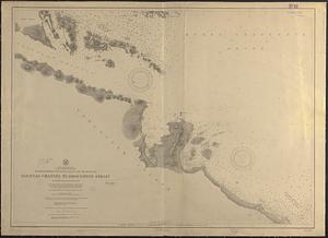
-
Sooke Region (B.C.)--Maps
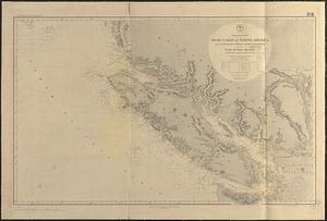
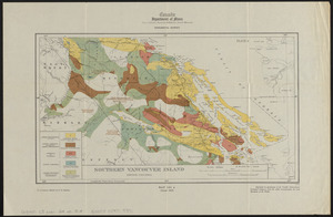
Vancouver Island (B.C.)--Maps
- Places:
-
CanadaProvince of British Columbia (province)Vancouver Island (island)
CanadaProvince of British Columbia (province)Sooke
- Extent:
- 1 map : col. ; 45 x 31 cm.
- Terms of Use:
-
No known copyright restrictions.
No known restrictions on use.
- Publisher:
-
[Ottawa?] :
Canada Dept. of Mines, Geological Survey
- Scale:
-
Scale 1:125,000
- Language:
-
English
- Notes:
-
Relief shown by contours and spot heights.
"Topography"--Upper right.
Shows roads, buildings, trails, railways, tramways, prospects, lighthouses, etc.
Includes location map.
- Identifier:
-
06_01_011657
- Call #:
-
G3514.S6C2 1914 .G64
- Barcode:
-
39999065687566