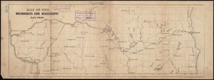
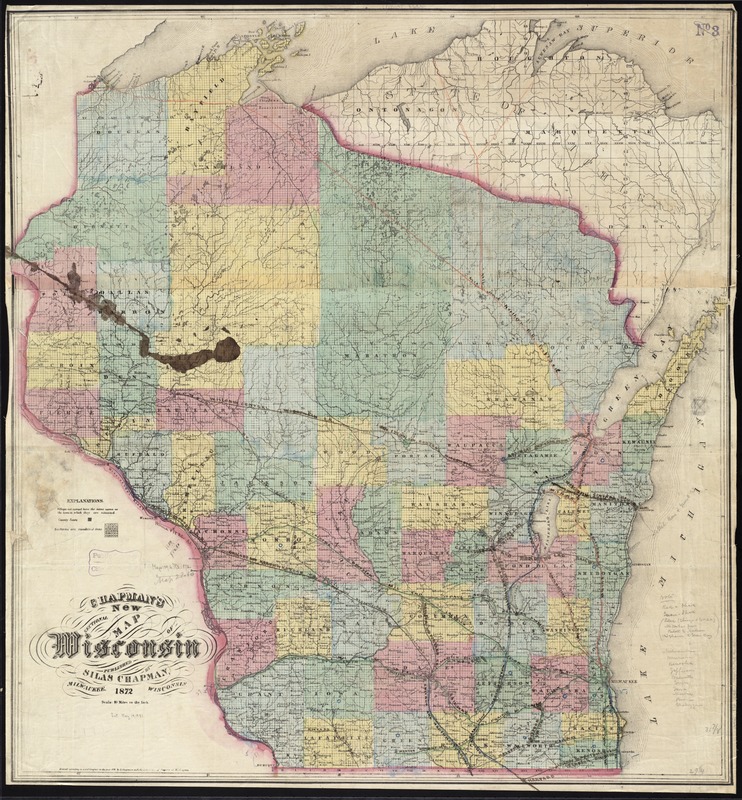
Chapman's new sectional map of Wisconsin
Item Information
- Title:
- Chapman's new sectional map of Wisconsin
- Title (alt.):
-
New sectional map of Wisconsin
- Creator:
- Chapman, Silas.
- Date:
-
1872
- Format:
-
Maps/Atlases
- Location:
-
Boston Public Library
Norman B. Leventhal Map & Education Center - Collection (local):
-
Norman B. Leventhal Map & Education Center Collection
- Subjects:
-
Railroads--Wisconsin--Maps
Wisconsin--Maps
- Places:
-
Wisconsin
- Extent:
- 1 map : hand col. ; 81 x 76 cm.
- Terms of Use:
-
No known copyright restrictions.
No known restrictions on use.
- Publisher:
-
Milwaukee, Wis :
Silas Chapman
- Scale:
-
Scale [1:633,600]. 10 miles to the inch
- Language:
-
English
- Notes:
-
Shows railroads, counties and towns.
"Entered according to act of Congress in the year 1872 by S. Chapman with the Librarian of Congress at Washington."
Includes township grid.
Boston Public Library copy imperfect: Inkstain in middle left and color manuscript marking railroads.
- Identifier:
-
06_01_011362
- Call #:
-
G4120 1872 .C43
- Barcode:
-
39999065684662