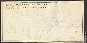
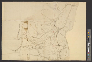
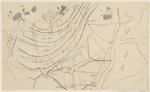
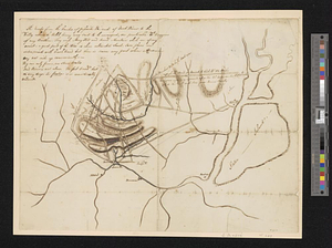
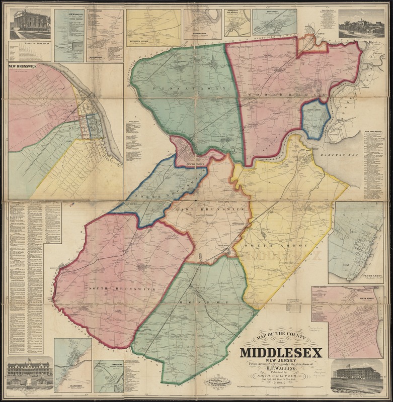
Map of the County of Middlesex, New Jersey
Item Information
- Title:
- Map of the County of Middlesex, New Jersey
- Creator:
- Walling, Henry Francis, 1825-1888
- Name on Item:
-
from actual surveys under the direction of H.F. Walling ; drawn, engraved, printed, colored and mounted at H.F. Walling's Map Establishment.
- Date:
-
1861
- Format:
-
Maps/Atlases
- Location:
-
Boston Public Library
Norman B. Leventhal Map & Education Center - Collection (local):
-
Norman B. Leventhal Map & Education Center Collection
- Subjects:
-
Real property--New Jersey--Middlesex County--Maps
Buildings--New Jersey--Middlesex County--Pictorial works
Landowners--New Jersey--Middlesex County--Maps
Middlesex County (N.J.)--Maps
- Places:
-
New JerseyMiddlesex (county)
- Extent:
- 1 map : col. ; 149 x 146 cm.
- Terms of Use:
-
No known copyright restrictions.
No known restrictions on use.
- Publisher:
-
New York :
Smith, Gallup & Holt
- Scale:
-
Scale 1:30,000
- Language:
-
English
- Notes:
-
Prime meridian: New York City.
Includes names of property owners, business directories, Rutger's College faculty, table of distances and population table.
Insets: New Brunswick -- Cranberry -- Jamesburg, Monroe Township -- South Amboy -- Perth Amboy -- Spotswood -- Herbertsville or Old Bridge -- Washington -- Metuchen Village -- Woodbridge -- New Market Vil.
Engravings: Court House, New Brunswick -- Congress Hall, Long Branch, N.J. -- United States Hotel, Long Branch, N.J. -- Rutger's College, New Brunswick, N.J.
- Identifier:
-
06_01_010893
- Call #:
-
G3813.M5 1861 .W35
- Barcode:
-
39999065679704