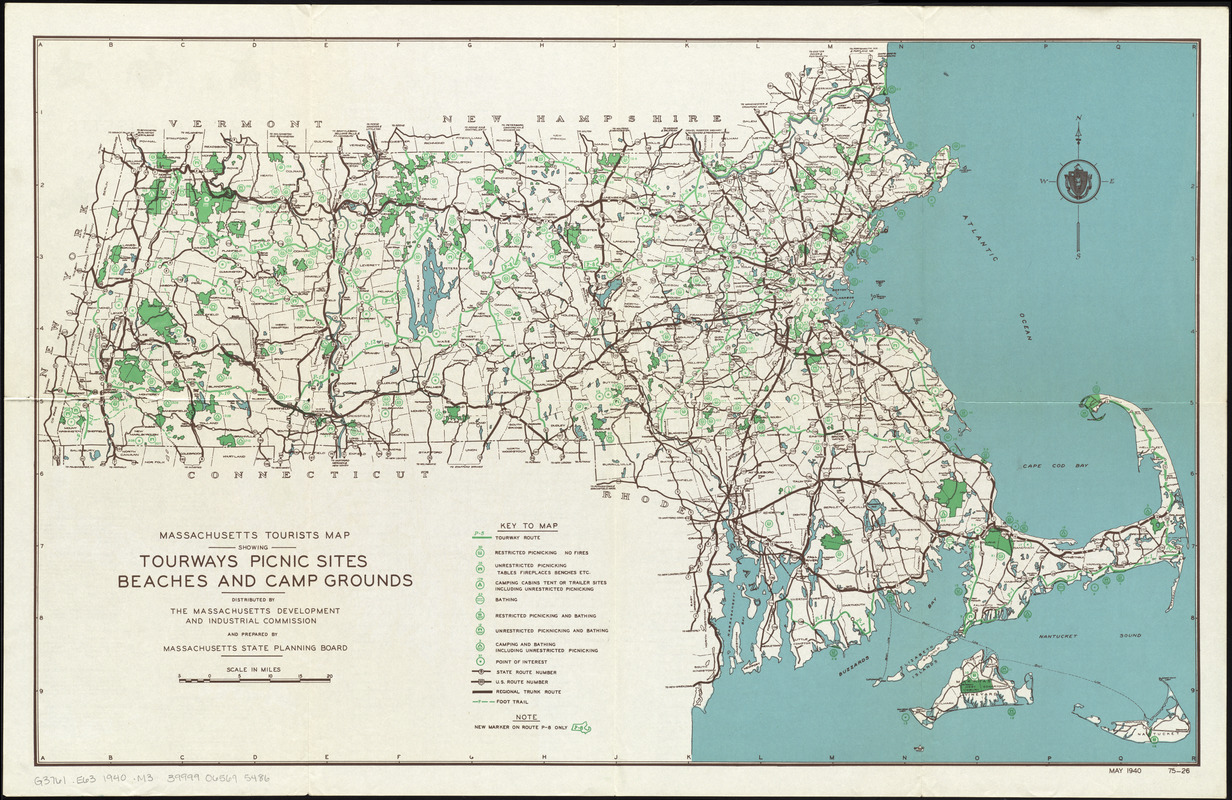
Massachusetts tourists map : showing tourways, picnic sites, beaches, and camp grounds
Item Information
- Title:
- Massachusetts tourists map : showing tourways, picnic sites, beaches, and camp grounds
- Creator:
- Massachusetts. State Planning Board
- Contributor:
- Massachusetts. Development and Industrial Commission
- Name on Item:
-
prepared by Massachuusetts State Planning Board
- Date:
-
1940
- Format:
-
Maps/Atlases
- Location:
-
Boston Public Library
Norman B. Leventhal Map & Education Center - Collection (local):
-
Norman B. Leventhal Map & Education Center Collection
- Subjects:
-
Outdoor recreation--Massachusetts--Maps
Massachusetts--Maps
- Places:
-
Massachusetts
- Extent:
- 1 map : col. ; 51 x 82 cm., folded to 28 x 22 cm.
- Terms of Use:
-
No known copyright restrictions.
No known restrictions on use.
- Publisher:
-
[Boston] :
Massachusetts Development and Industrial Commission
- Scale:
-
Scale [ca. 1:379,000]
- Language:
-
English
- Notes:
-
May 1940 75-26--Lower right.
List of public beaches, picnic sites, camp grounds and points of interest and index of tourways routes on verso.
- Identifier:
-
06_01_012108
- Barcode:
-
39999065695486


