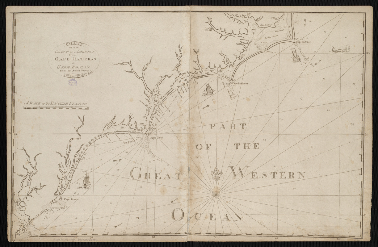
Chart of the coast of America from Cape Hateras to Cape Roman
Item Information
- Title:
- Chart of the coast of America from Cape Hateras to Cape Roman
- Creator:
- Dunbibin, Daniel
- Cartographer:
- Dunbibin, Daniel
- Publisher:
- Norman, John, 1748?-1817
- Name on Item:
-
from the actual surveys of Dl. Dunbibin Esqr.
- Date:
-
[1794]
- Format:
-
Maps/Atlases
- Location:
-
Boston Public Library
Norman B. Leventhal Map & Education Center - Collection (local):
-
Norman B. Leventhal Map & Education Center Collection
- Subjects:
-
Coasts--North Carolina--Early works to 1800
Coasts--South Carolina--Early works to 1800
Nautical charts--North Carolina--Early works to 1800
Nautical charts--South Carolina--Early works to 1800
North Carolina--Maps--Early works to 1800
South Carolina--Maps--Early works to 1800
- Places:
-
North Carolina
South Carolina
- Extent:
- 1 map ; 53 x 80 cm
- Terms of Use:
-
No known copyright restrictions.
No known restrictions on use.
- Publisher:
-
[Boston] :
John Norman
- Scale:
-
Scale approximately 1:648,000
- Language:
-
English
- Notes:
-
State 3.
Depths shown by soundings.
Includes illustrations of ships.
In John Norman's American pilot. Boston : John Norman, 1794.
- Notes (date):
-
This date is inferred.
- Identifier:
-
06_01_004803
- Call #:
-
G1106.P5 N6 1794x
- Barcode:
-
30000005058356


