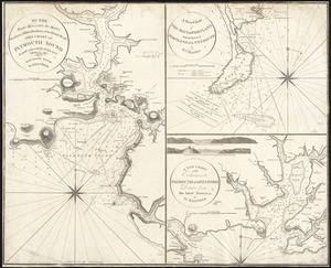
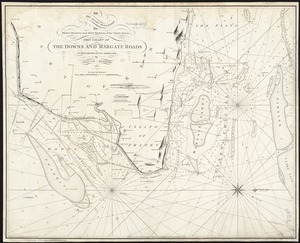
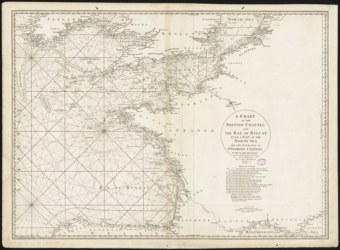
A chart of the British Channel and the Bay of Biscay, with a part of the North Sea, and the entrance of St. George's Channel
Item Information
- Title:
- A chart of the British Channel and the Bay of Biscay, with a part of the North Sea, and the entrance of St. George's Channel
- Creator:
- Dicquemare, (Jacques-François), M. l'abbé, 1733-1789
- Contributor:
- Delarochette, L. (Louis), 1731-1802
- Publisher:
- Faden, William, 1749-1836
- Name on Item:
-
by Monsr. L Abbé Diquemare ; with several emendations, and many useful additions &c. by L.S. De La Rochette
- Date:
-
1780
- Format:
-
Maps/Atlases
- Location:
-
Boston Public Library
Norman B. Leventhal Map & Education Center - Collection (local):
-
Norman B. Leventhal Map & Education Center Collection
- Subjects:
-
Coasts--England--Maps--Early works to 1800
Coasts--France--Maps--Early works to 1800
Nautical charts--English Channel--Early works to 1800
Nautical charts--North Sea--Early works to 1800
Biscay, Bay of (France and Spain)--Navigation--Maps--Early works to 1800
English Channel--Navigation--Maps--Early works to 1800
North Sea--Navigation--Maps--Early works to 1800
- Places:
-
English Channel
Biscay, Bay of
- Extent:
- 1 map : hand colored ; 50 x 69 cm, on sheet 55 x 72 cm
- Terms of Use:
-
No known copyright restrictions.
No known restrictions on use.
- Publisher:
-
London :
W. Faden
- Edition:
- 2d. edition.
- Scale:
-
Scale approximately 1:2,300,000
- Language:
-
English
- Notes:
-
Depths shown by soundings.
Conservation of this piece was funded by Alan and Sherry Leventhal in memory of his father, Norman B. Leventhal whose vision to create this Map Center will inspire generations to come.
Map 7 in a composite atlas with the title "Atlas of the world."
- Identifier:
-
06_01_014658
- Call #:
-
G1015 .A85 1783
- Barcode:
-
30000004730199