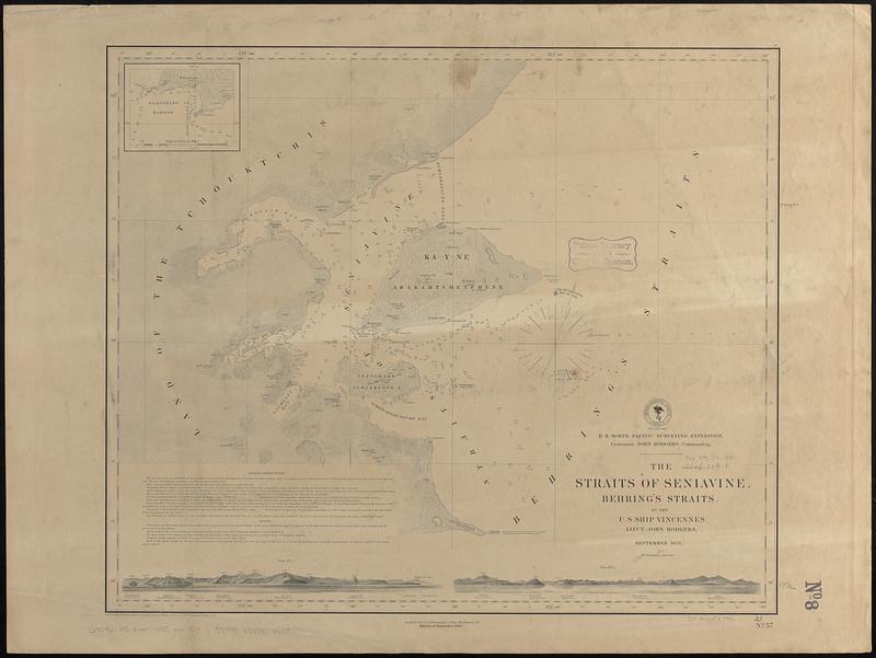
The Straits of Seniavine, Behring's Straits
Item Information
- Title:
- The Straits of Seniavine, Behring's Straits
- Issuing body:
- United States. Hydrographic Office
- Artist:
- Boggs, William Brenton, 1809-1875
- Cartographer:
- Knorr, E. R. (Ernest Rudolph)
- Draftsman:
- Mahon, Charles
- Surveyor:
- United States North Pacific Exploring Expedition (1853-1856)
- Name on Item:
-
by the U.S. Ship Vincennes, Lieut. John Rodgers ; U.S. North Pacific Surveying Expedition, Lieutenant John Rodgers, commanding ; projected by E.R. Knorr ; reduced for engraving by C. Mahon ; views by Wm. Brenton Boggs, Purser U.S.N.
- Date:
-
1888
- Format:
-
Maps/Atlases
- Genre:
-
Nautical charts
- Location:
-
Boston Public Library
Norman B. Leventhal Map & Education Center - Collection (local):
-
Norman B. Leventhal Map & Education Center Collection
- Subjects:
-
Chukchi Peninsula (Russia)--Maps
Senyavina Strait (Russia)--Maps
Nautical charts--Russia (Federation)--Senyavina Strait
Vincennes (Sloop of war)
United States North Pacific Exploring Expedition (1853-1856)
- Places:
-
RussiaЧукотский Полуостров (area)
Proliv Senyavina
- Extent:
- 1 map ; 45 x 54 cm
- Terms of Use:
-
No known copyright restrictions.
No known restrictions on use.
- Publisher:
-
Washington, D.C. :
Hydrographic Office
- Edition:
- Edition of September 1888
- Scale:
-
Scale approximately 1:185,000
- Language:
-
English
- Notes:
-
Relief shown by contours and spot heights. Depths shown by soundings.
Includes text, 2 coastal views, and inset of Glasenapp Harbor.
"September 1855."
- Identifier:
-
06_01_017470
- Call #:
-
G9096.P5 svar .U55 no. 57
- Barcode:
-
39999085959458


