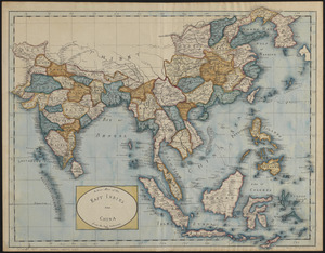
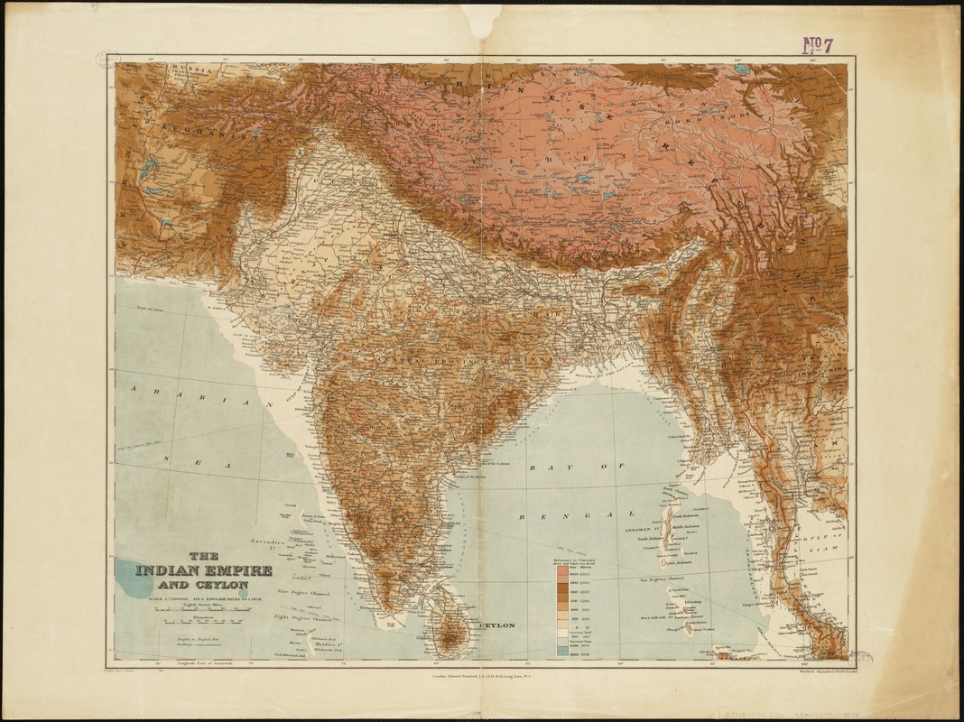
The Indian Empire and Ceylon
Item Information
- Title:
- The Indian Empire and Ceylon
- Creator:
- Edward Stanford Ltd
- Date:
-
[1920]
- Format:
-
Maps/Atlases
- Location:
-
Boston Public Library
Norman B. Leventhal Map & Education Center - Collection (local):
-
Norman B. Leventhal Map & Education Center Collection
- Subjects:
-
South Asia--Maps
India--Maps
Sri Lanka--Maps
1920
- Places:
-
Southern Asia (area)
India
Sri Lanka
- Extent:
- 1 map : col. ; 48 x 59 cm.
- Terms of Use:
-
No known copyright restrictions.
No known restrictions on use.
- Publisher:
-
[London] :
Edward Stanford Ltd.
- Scale:
-
Scale 1:7,500,000 ;
- Language:
-
English
- Notes:
-
Relief shown as gradient tints.
London Atlas Series.
Shows international and administrative boundaries, railways.
- Notes (date):
-
This date is inferred.
- Identifier:
-
06_01_004927
- Call #:
-
G7750 1920 .E3x
- Barcode:
-
39999059008878