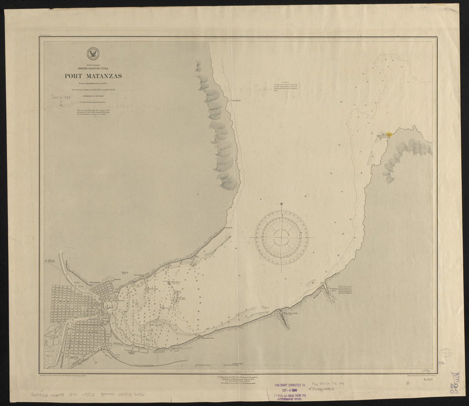
West Indies, north coast of Cuba, Port Matanzas : from a Spanish survey in 1892
Item Information
- Title:
- West Indies, north coast of Cuba, Port Matanzas : from a Spanish survey in 1892
- Title (alt.):
-
Port Matanzas
- Issuing body:
- United States. Hydrographic Office
- Engraver:
- Daniel, R. A. (Robert A.)
- Engraver:
- Swope, D. P. (D. Paul)
- Name on Item:
-
engraved by R.A. Daniel and D.P. Swope
- Date:
-
1898
- Format:
-
Maps/Atlases
- Location:
-
Boston Public Library
Norman B. Leventhal Map & Education Center - Collection (local):
-
Norman B. Leventhal Map & Education Center Collection
- Subjects:
-
Nautical charts--Cuba--Matanzas Bay
Matanzas Bay (Cuba)--Maps
Matanzas (Cuba)--Maps
- Places:
-
CubaMatanzas (province)Matanzas, Bahía de (bay)
- Extent:
- 1 map ; 51 x 60 cm
- Terms of Use:
-
No known copyright restrictions.
No known restrictions on use.
- Publisher:
-
Washington, D.C. :
Hydrographic Office
- Scale:
-
Scale approximately 1:21,200
- Language:
-
English
- Notes:
-
Relief shown by shading. Depths shown by soundings and isolines.
Stamped in lower margin: This chart corrected to Oct 4 1898 the date of issue from the Hydrographic Office.
- Identifier:
-
06_01_015677
- Call #:
-
G9096.P5 svar .U55
- Barcode:
-
39999085939492


