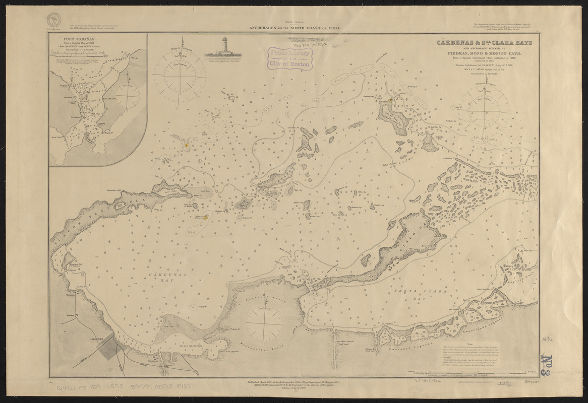
West Indies, anchorages on the north coast of Cuba
Item Information
- Title:
- West Indies, anchorages on the north coast of Cuba
- Title (alt.):
-
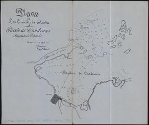
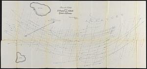
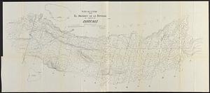
Cárdenas & Sta. Clara Bays and anchorage formed by Piedras, Mono & Monito Cays : from a Spanish government chart published in 1876, corrected to 1883
Port Cabañas : from a Spanish plan of 1829
- Issuing body:
- United States. Hydrographic Office
- Printer:
- Leggo Bros. & Co.
- Date:
-
1889
- Format:
-
Maps/Atlases
- Location:
-
Boston Public Library
Norman B. Leventhal Map & Education Center - Collection (local):
-
Norman B. Leventhal Map & Education Center Collection
- Subjects:
-
Nautical charts--Cuba--Cabañas Bay
Nautical charts--Cuba--Cárdenas Bay
Nautical charts--Cuba--Santa Clara Bay
Cabañas Bay (Cuba)--Maps
Cárdenas Bay (Cuba)--Maps
Santa Clara Bay (Cuba)--maps
- Places:
-
CubaArtemisa (province)Cabañas
CubaMatanzas (province)Cárdenas, Bahía de (bay)
CubaSanta Clara, Bahía de (bay)
- Extent:
- 2 maps on 1 sheet : hand colored ; 43 x 61 cm
- Terms of Use:
-
No known copyright restrictions.
No known restrictions on use.
- Publisher:
-
Washington, D.C. :
Hydrographic Office
- Edition:
- Edition of April 1889
- Scale:
-
Scale approximately 1:91,500
Scale approximately 1:93,500
- Language:
-
English
- Table of Contents:
-
Cárdenas & Sta. Clara Bays and anchorage formed by Piedras, Mono & Monito Cays
Port Cabañas.
- Notes:
-
Depths shown by soundings and isolines.
Includes note and illustration of Piedras Cay Lighthouse.
- Identifier:
-
06_01_015652
- Call #:
-
G9096.P5 svar .U55
- Barcode:
-
39999085938437